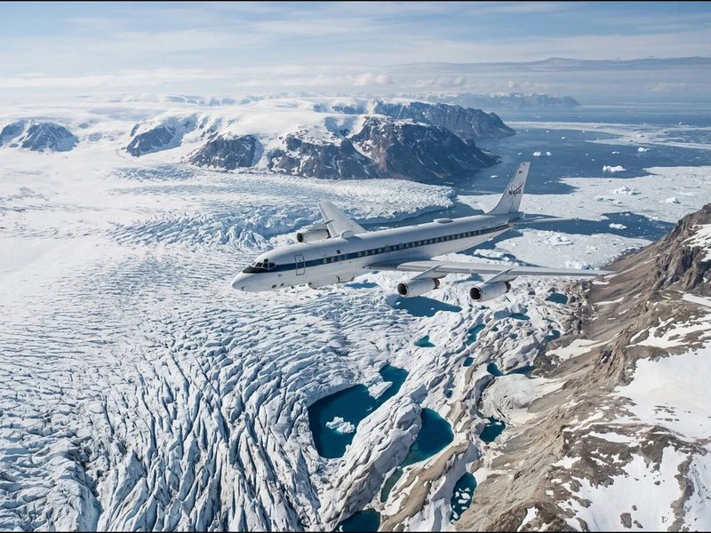
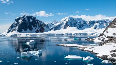
In 2009, NASA started conducting the largest airborne survey of Earth's polar ice under Operation IceBridge to bridge the observational gap between ICESat and ICESat-2
In 2009, NASA started conducting the largest airborne survey of Earth's polar ice under Operation IceBridge to bridge the observational gap between the ICESat and ICESat-2 satellite missions. The campaign used research aircraft, laser altimeters, radar and imaging systems to track changes in Greenland, Antarctica, the Arctic and Alaskan glaciers.…

The Economic Times ·











 The Independent UK
 The Conversation
 LiveScience
 The Economic Times
 Space
Space
 The Times of India
 The Guardian - UK
 Euronews
 The Guardian - AU
 AAP
AAP
 Evening Standard
 International Business Times UK


