Get all your news in one place.
100's of premium titles.
One app.
Start reading
The Conversation
The Conversation
Grant Macdonald, Postdoctoral Researcher, Department of Geography, Durham University

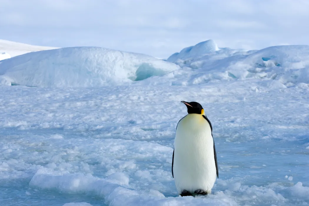
Using a radar satellite to track emperor penguins in winter is changing our understanding of the species

Robert Harding Video/Shutterstock

Freely available satellite radar imaging is being used for the first time to help track colonies of endangered emperor penguins in Antarctica throughout the winter months.

Typically satellite images need sunlight to be useful, and Antarctica is dark in the winter. This has meant that colonies have been hidden at a critical time in the emperor penguin breeding cycle, when eggs are laid, chicks hatch and adults take part in those iconic huddles.

Sign up to read this article
Read news from 100's of titles, curated specifically for you.
Already a member? Sign in here
Related Stories
Top stories on inkl right now
One subscription that gives you access to news from hundreds of sites
Already a member? Sign in here
Our Picks
Fourteen days free
Download the app
One app. One membership.
100+ trusted global sources.