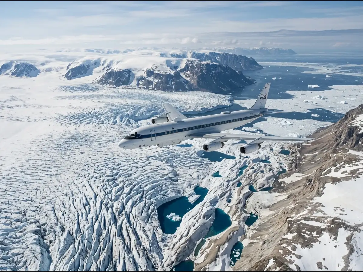
In 2009, NASA started conducting the largest airborne survey of Earth's polar ice under the mission Operation IceBridge to bridge the observational gap between the ICESat and ICESat-2 satellite missions. The program was created to continue measurements of Earth's polar regions when ICESat was no longer providing the same satellite observations and before ICESat-2 began its mission. Operation IceBridge used aircraft to collect measurements over areas that included Greenland, Antarctica, the Arctic and Alaskan glaciers. The program focused on changes in sea ice, ice sheets and glaciers. These observations helped scientists study how polar ice changes over time and improve models used to understand sea-level rise.