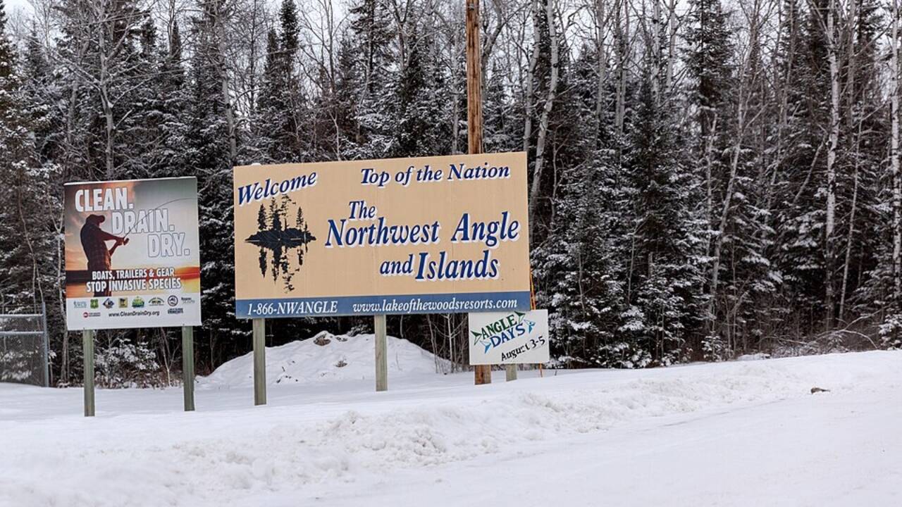
A cartographic mistake made more than two centuries ago still shapes how residents travel to work, school and the grocery store. Tucked into the northern tip of Minnesota, the Northwest Angle is the only part of the contiguous United States that lies north of the 49th parallel. As the region is cut off from the rest of Minnesota by Lake of the Woods, residents of the Northwest Angle need to cross into Canada and then re-enter the United States to even reach the mainland by road. This is a geographical oddity born from an inaccurate 18th-century map. According to NASA’s Earth Observatory and U.S. National Archives , the anomaly traces back to the 1783 Treaty of Paris, whose negotiators relied on incomplete knowledge of North America’s interior.
Get breaking news anytime, anywhere. Download the TOI app now!