Satellite images show how cities are heating up
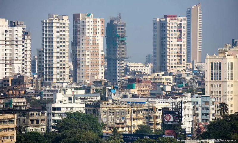
Between 2003 and 2020, India's cities warmed at 0.53°C per decade –double the rate of the rest of the country. Satellite imagery reveals this transformation, documenting how green turned to grey, water bodies vanished, and land surface temperatures soared – in some cases by as much as 15°C in three decades. This…

Newslaundry ·