Get all your news in one place.
100's of premium titles.
One app.
Start reading
Newslaundry
Newslaundry
National
Priyanka Thirumurthy

Satellite images show how cities are heating up

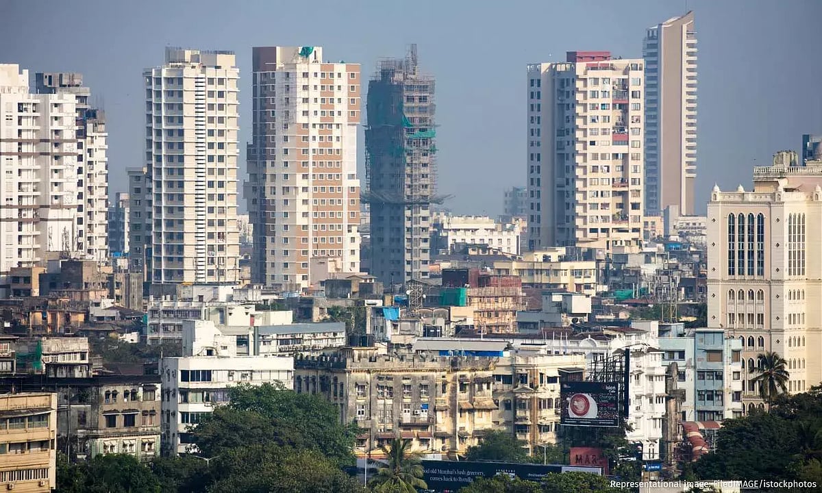
Between 2003 and 2020, India's cities warmed at 0.53°C per decade –double the rate of the rest of the country. Satellite imagery reveals this transformation, documenting how green turned to grey, water bodies vanished, and land surface temperatures soared – in some cases by as much as 15°C in three decades. This was particularly pronounced in the northwestern, northeastern and southern regions.

Sign up to read this article
Read news from 100's of titles, curated specifically for you.
Already a member? Sign in here
Related Stories
Top stories on inkl right now
One subscription that gives you access to news from hundreds of sites
Already a member? Sign in here
Our Picks
Fourteen days free
Download the app
One app. One membership.
100+ trusted global sources.