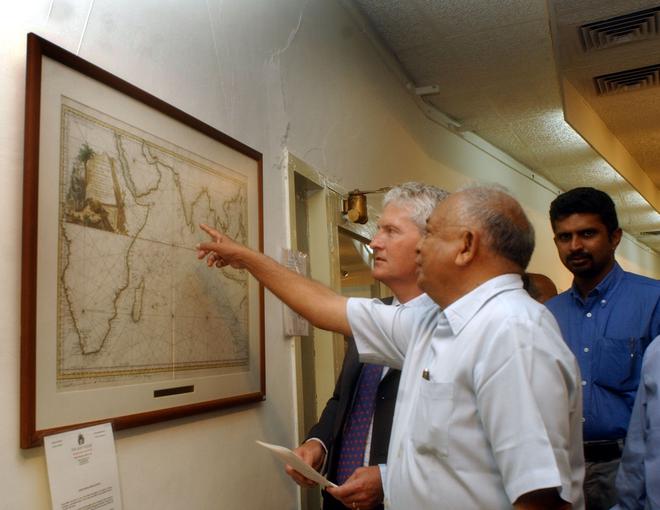
Back when explorers of the Western world were still finding their way around our land, penning India down as a map was no mean feat. The process, taken up by many through the centuries, was as challenging as it was historically, economically and politically important — and a major portion of it began right here in Madras.
The city has played a pivotal role in helping the world better understand the Indian subcontinent. The State’s history of cartography and surveying pushed the boundaries of its time, with academics attributing ‘India’s first modern scientific survey’ to the instructions of a Superintendent of Madras in 1787. Other than its own efforts in these fields, Madras has also contributed immensely to others’ efforts in surveying and mapping. Historically, it has done this through its involvement with the Great Trigonometrical Survey (GTS) of India, a pioneering survey utilising the method of triangulation.