Get all your news in one place.
100's of premium titles.
One app.
Start reading
The Independent UK
The Independent UK
National
Ryan J. Foley,Christopher L. Keller and Jim Mustian

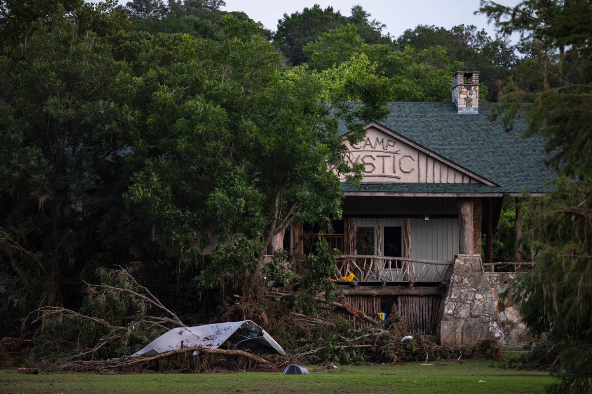
FEMA removed dozens of Camp Mystic buildings from 100-year flood map before expansion, records show

Texas-Floods-FEMA Map - (Copyright 2025 The Associated Press. All rights reserved)

Federal regulators repeatedly granted appeals to remove Camp Mystic's buildings from their 100-year flood map, loosening oversight as the camp operated and expanded in a dangerous flood plain in the years before rushing waters swept away children and counselors, a review by The Associated Press found.

The Federal Emergency Management Agency included the prestigious girls' summer camp in a “Special Flood Hazard Area” in its National Flood Insurance map for Kerr County in 2011, which means it was required to have flood insurance and faced tighter regulation on any future construction projects.

Sign up to read this article
Read news from 100's of titles, curated specifically for you.
Already a member? Sign in here
Related Stories
Top stories on inkl right now
One subscription that gives you access to news from hundreds of sites
Already a member? Sign in here
Our Picks
Fourteen days free
Download the app
One app. One membership.
100+ trusted global sources.