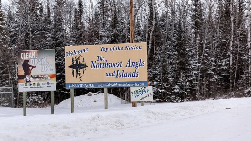
In 1783, a flawed map helped leave part of Minnesota cut off by Canada; today, Northwest Angle residents often drive through Canada to reach the rest of the state
An 18th-century cartographic error created the Northwest Angle in Minnesota. This geographical anomaly requires travel through Canada to reach the mainland. Negotiators of the 1783 Treaty of Paris relied on inaccurate maps of the region. Later agreements preserved this unusual border, creating a practical exclave. Today, residents and tourists navigate…

The Times of India ·

 The Times of India