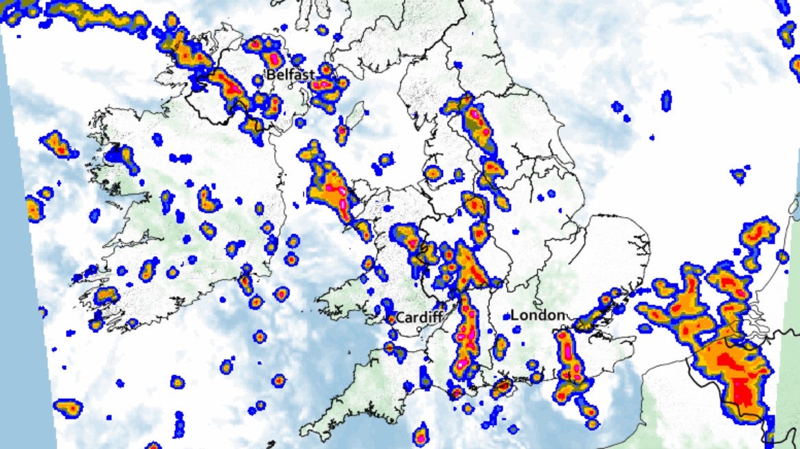
Thunderstorms are set to sweep parts of England and Wales overnight after huge numbers of lightning strikes hit Britain over the weekend.
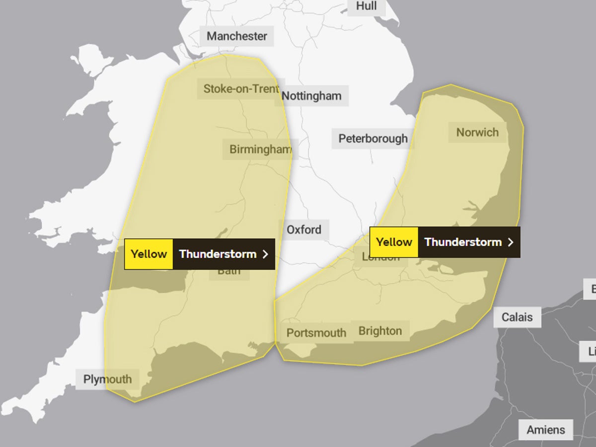
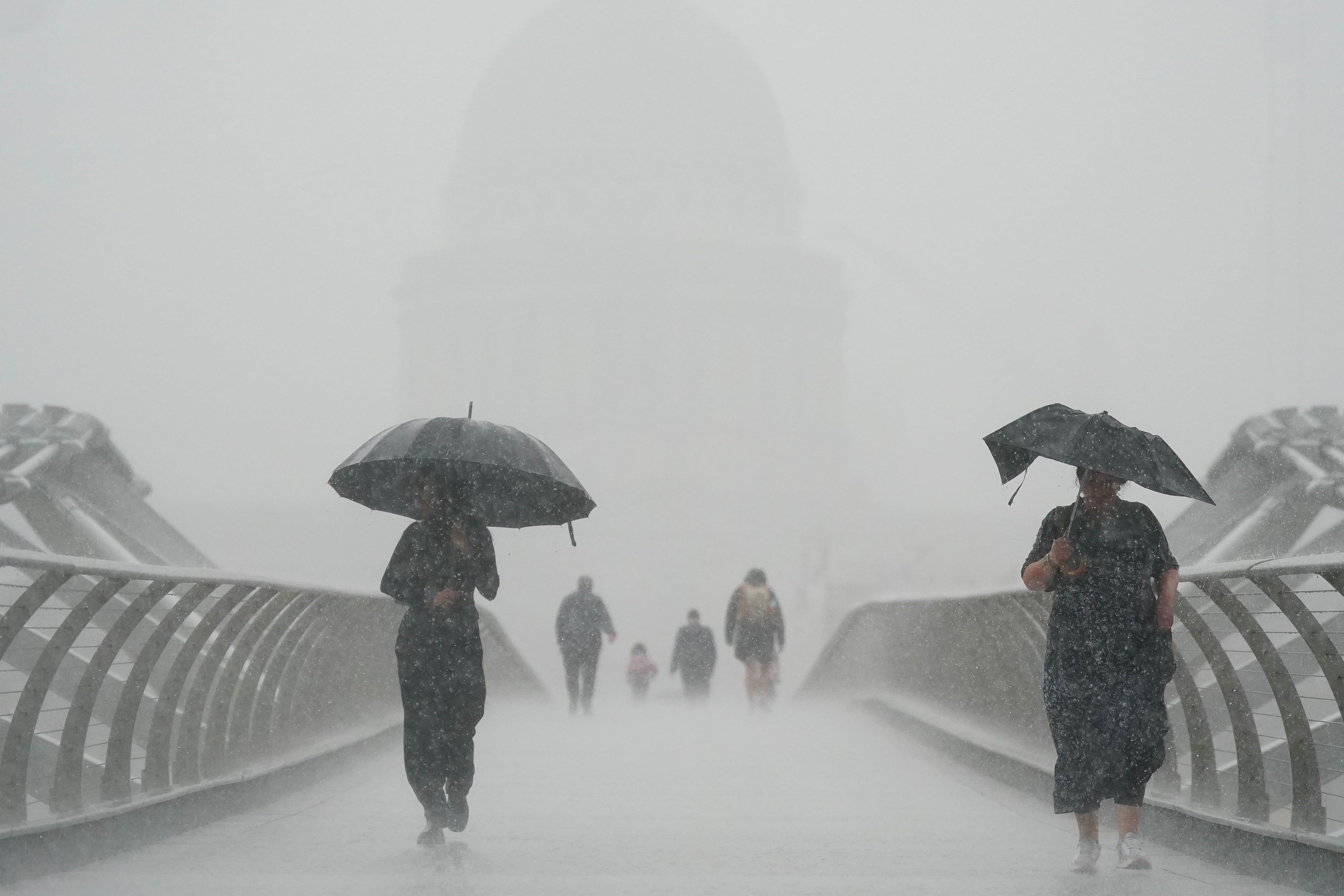
Forecasters have warned treacherous driving conditions and flooding are likely as the Met Office issued a yellow weather warning for much of the country.
London, Norwich and Brighton are among the major settlements at risk in the east, while Birmingham, Bristol and Cardiff are covered out west.

Some areas will see up to 80mm of rain in three hours, the Met Office said.
The warning was in place until 2am on Tuesday and comes after more than 36,000 lightning strikes were recorded across the UK in just 12 hours on Sunday.
More thunderstorms were expected in the daytime on Tuesday, with forecasters predicting that the foul weather could interrupt new prime minister Liz Truss’s first speech to the nation.
Ellie Wilson, meteorologist at the Met Office, said: “It’s going to be a showery day as it has been today, especially in London, with a risk of thunderstorms particularly through the afternoon from midday onwards.

“That’s continuing all the way until late afternoon, early evening. There’s a chance of hail too.”
The Met Office said unsettled conditions could continue through the week before clearing up as the weekend nears.

Met Office spokesperson Oli Claydon said: “The main factor leading our weather in the next few days and indeed through the week is an area of low pressure that's coming to the west of the UK.
“And it sits there through the week, very slowly moving eastward.
“From that area of low pressure we'll get a number of fronts that are sort of spinning off it, as well as the thunderstorms which are being pushed up from the south.
“We've also got a cold front that's moving eastward off of that low pressure, bringing further rain as well.”


