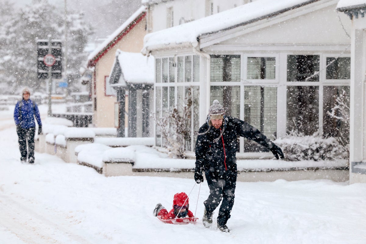
The weather might have turned mild, but don’t put your winter coat away just yet - as an arctic blast is set to bring snow and freezing temperatures next month.
There were speculations of snow and blizzards hitting the country this week due to a phenomenon called Sudden Stratospheric Warming (SSW), but Met Office forecasters have clarified it will arrive in a few weeks instead.
The UK is on Wednesday set for a cloudy and damp day with light winds and rains, as the mercury begins to drop after a mild start to the week.
Rainfall may become more persistent and potentially heavy in some areas with the days expected to see a maximum temperature of around 10C, according to the Met Office.
The chance of colder weather seems more likely in a couple of weeks, the forecaster added, with spells of rain or snow expected in March.
Cloudy conditions will persist overnight, with outbreaks of rain continuing with a minimum temperature of around 4C and a frosty start to the next day.
This is a slight shift from the temperatures seen earlier this week with unseasonably mild conditions as the mercury reached the high of 16C in parts of the UK, such as Suffolk, which is usually around 8C for this time of the year.
According to the Met Office, this warm weather is due to the Atlantic air moving across the UK.
On Thursday, clouds and rain are expected to linger, but will slowly start to clear during the afternoon. It will be generally breezy, but winds will gradually ease into the evening.
Looking towards the end of the week, there will be some patchy rain on Friday before sunny spells develop in the afternoon. The sunny spells are set to continue over the weekend, with isolated showers near the coast. It will be breezy at times with overnight frosts.

.png?w=600)


