It has been more than 200 days since the US-Iran war began, and yet the conflict remains without a conclusion. One can expect a superpower like the United States, with the biggest economy and overwhelming military might, to swiftly win the war. In reality, it looks for a table to negotiate, where Iran appears to have an equal say.
Get breaking news anytime, anywhere. Download the TOI app now!

Influence over Hormuz has given Iran a form of leverage disproportionate to its conventional economic and military weight, highlighting how geography can be strategised to shape geopolitical outcomes in one's favour. The strategic significance of this leverage extends beyond the Gulf. From Hormuz and Bab el-Mandeb to the Malacca Strait, influence over maritime chokepoints can allow states, and sometimes non-state actors, to influence trade, energy flows, and the calculations of much larger powers.
For India, the crisis in the west could offer a lesson in how maritime geography can be leveraged in the east.
Operation epic ‘weary’?
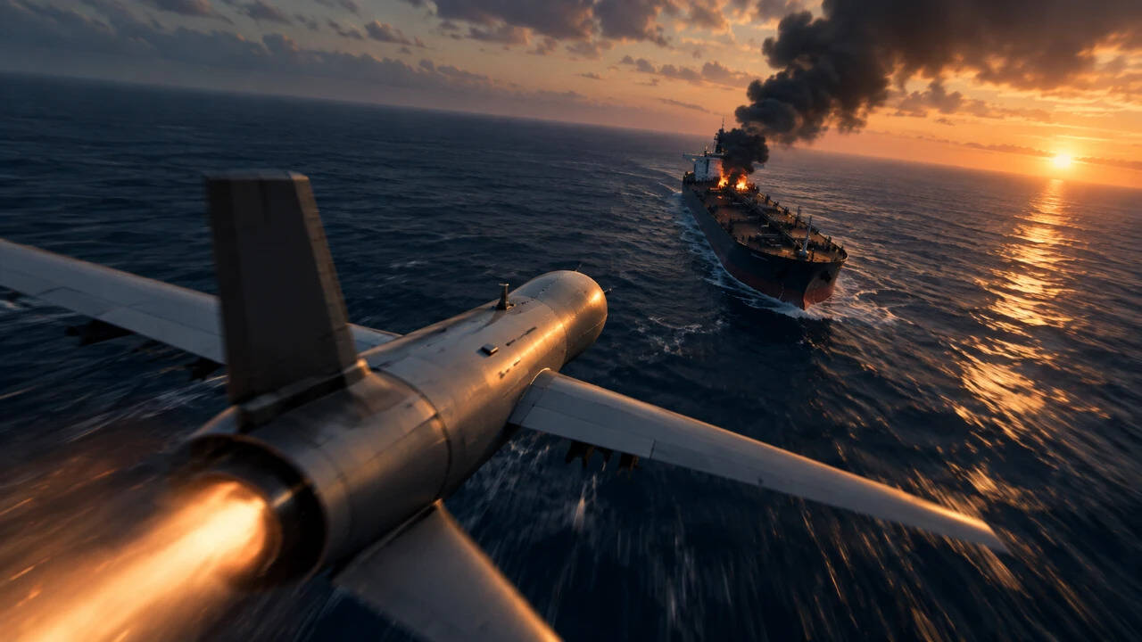
In late February, the global energy supply chain was disrupted after the US and Israel launched coordinated strikes against Iran under "Operation Epic Fury". According to the Institute for the Study of War, the combined US-Israeli force carried out nearly 900 strikes on Iranian targets within the first 12 hours of the campaign, one of which killed Supreme Leader Ayatollah Ali Khamenei. By March one, the coalition had struck over 2,000 targets across Iran, achieving air superiority and significantly dismantling the country's nuclear, military and government infrastructure.
With its missile, drone, and regional proxy capabilities severely degraded, ISW and its partner, the Critical Threats Project, assessed that Iran used maritime disruption in the Strait of Hormuz as a means of forcing concessions from the US and exerting pressure on the global economy.
The US Energy Information Administration (EIA) analysis based on Vortexa tanker-tracking data found that oil flows through the Strait of Hormuz fell sharply from an average of 21.6 million barrels per day in the fourth quarter of 2025 to 4.9 million barrels per day in the second quarter of 2026.
Crude oil and condensate flows declined from 15.9 million b/d to 3.7 million b/d, while petroleum product flows fell from 5.7 million b/d to 1.1 million b/d. Additionally, LNG flows also dropped from 10.5 billion cubic feet per day to 0.8 billion cubic feet per day over the same period.
According to officials and analysts cited by Reuters, Tehran is not pursuing a decisive military victory but rather a strategy of calibrated attrition.
The logic is that if Iran can show the world that prolonging the conflict carries a heavy toll for the global economy, it can force Washington to weigh whether its objectives are still worth those costs. Analysts say the underlying aim is to persuade the US and its allies that containing the crisis is more expensive than simply accommodating Iran's demands over the Strait of Hormuz. Higher global crude prices feed directly into petrol prices, inflation, transport costs, and the cost of doing business,
Additionally, when economies that are heavily dependent on imported energy face higher costs and supply uncertainty, they can create pressure on Washington to bring the conflict to an end.
India, for instance, imports nearly 90 per cent of its Oil. Before the conflict, around half of its crude oil imports, amounting to nearly 2.5 to 2.7 million barrels a day, passed through the strait, coming mostly from Iraq, Saudi Arabia, the United Arab Emirates, and Kuwait, BBC reported.
Washington was forced to temporarily ease its restrictions on Russian crude imports to India, granting an initial 30-day waiver in March. US treasury secretary Scott Bessent said the measure was intended “to enable oil to keep flowing into the global market”, preventing a bigger energy crisis.
More imports from Russia further eased the country's dependence on the Gulf chokepoint, with Russian oil tankers reaching Indian ports through the Red Sea's Bab el-Mandeb Strait, providing an alternative supply route that bypassed Hormuz.
Passage through the Mandeb Strait has become one of the alternatives to Hormuz, but it comes with its own chokepoints.
Bab-el-Mandeb
With Hormuz disrupted, Saudi Arabia sought to make greater use of its Red Sea infrastructure. According to EIA, total oil flows through the Bab el-Mandeb Strait increased sharply from 5.4 million barrels per day in the fourth quarter of 2025 to 8.1 million barrels per day in the second quarter of 2026. Crude oil and condensate flows nearly doubled, rising from 3.2 million b/d to 6.1 million b/d.
However, the wider Iran conflict has also spilled over into Yemen, putting the fragile calm between Saudi Arabia and the Iran-aligned Houthis under renewed strain. The 2022 truce had significantly reduced hostilities between the Houthis and the Saudi-backed Yemeni government, but the regional war has reopened the strategic fault lines. The Houthis have since intensified their military campaign along Yemen's Red Sea coast, bringing them closer to one of the world's most important maritime chokepoints.
The significance of the advance lies in their increasing proximity to the Bab el-Mandeb Strait. The Houthis captured the strategic Red Sea port city of Mocha on September 10 and subsequently advanced towards the Bab el-Mandeb area, including Perim Island.
Since then, their gains have strengthened their ability to exert pressure on shipping through the southern entrance to the Red Sea.
The Iran-backed group also declared that their maritime operations are targeted, saying international shipping would be spared while Saudi vessels remained subject to a naval blockade.
The Houthis, a lightly resourced non-state group compared to the Saudi state and its conventional military, did not need to match that power to threaten it. Mere control of a 13-square-kilometre island at the strait's narrowest point was enough to put Riyadh's alternative route at risk.
A lesson for India?
While India has economically suffered from the crisis, it could also offer a lesson in how geography can be utilised for strategic leverage against China, a conventionally powerful neighbour.
The Strait of Malacca is the world’s busiest maritime chokepoint, carrying more than 100,000 vessel transits a year and roughly a quarter to a third of global seaborne trade by value. China is by far the largest single beneficiary and risk-bearer. Most of its seaborne crude oil, a large share of its LNG and other energy imports, and about two‑thirds of its total maritime trade pass through the strait.
It is the narrowest in the Phillips Channel near Singapore, roughly 2.7 km wide and nearly 25 metres deep.
India does not control the waterway, but its proximity to the Strait through the Andaman and Nicobar Islands gives it a position from which it can potentially influence one of the world's busiest maritime routes. This has also prompted debate in strategic circles over whether India could use its naval position to impose a blockade on Chinese shipping through the Malacca Strait in the event of a conflict.
According to Dr Ashok Sharma, Visiting Fellow at the University of New South Wales Canberra at the Australian Defence Force Academy, the Malacca Strait represents a significant source of strategic leverage for India in its maritime competition with China.
Speaking to TOI, Sharma explains how India's geography can be strategically weaponised.
"In a conflict, India could use this geographical advantage, together with surveillance, submarines, maritime patrol aircraft and surface forces, to monitor and potentially disrupt Chinese shipping and energy flows," Sharma said.
Given China's substantial dependence on maritime trade and energy supplies passing through the Strait, he argues this creates an important vulnerability that India can potentially exploit as part of a broader sea-denial strategy.
However, blocking the Malacca Strait outright is not the same as having the capability to merely threaten or deny its use, as the Strait is an international waterway, and India cannot simply "close it at will".
"But in a major conflict, the ability to monitor shipping, hold vessels at risk and make passage dangerous or prohibitively costly could give India considerable strategic leverage," Sharma added.
In that sense, Sharma compares India's position to Iran's leverage around Hormuz, though the geography is different. Iran is a littoral state bordering Hormuz, whereas India's advantage around Malacca comes primarily from its proximity through the Andaman and Nicobar Islands, and its growing naval capabilities.
Crucially, India's position away from the Strait also works to its advantage. Unlike Iran, whose coastline lies exposed along Hormuz, India is not littoral to Malacca, meaning China cannot blockade Indian ports the way the US did to Iran. New Delhi further benefits from a vast tri-directional coastline, an advantage Tehran does not possess.
India doesn't need to physically seal the Malacca Strait to exert pressure on China, Sharma said.
"The credible possibility of disruption during a conflict could itself become a strategic instrument".
Geography can sometimes compensate for a significant gap in conventional power, especially in a globalised world where nations are interdependent for resources. A state does not necessarily need the largest economy or the strongest military to exert influence over a much more powerful adversary. Possessing a strategically located piece of geography and the capability to exploit it can allow a relatively weaker power to impose costs, create uncertainty, and shape the wider geopolitical landscape.