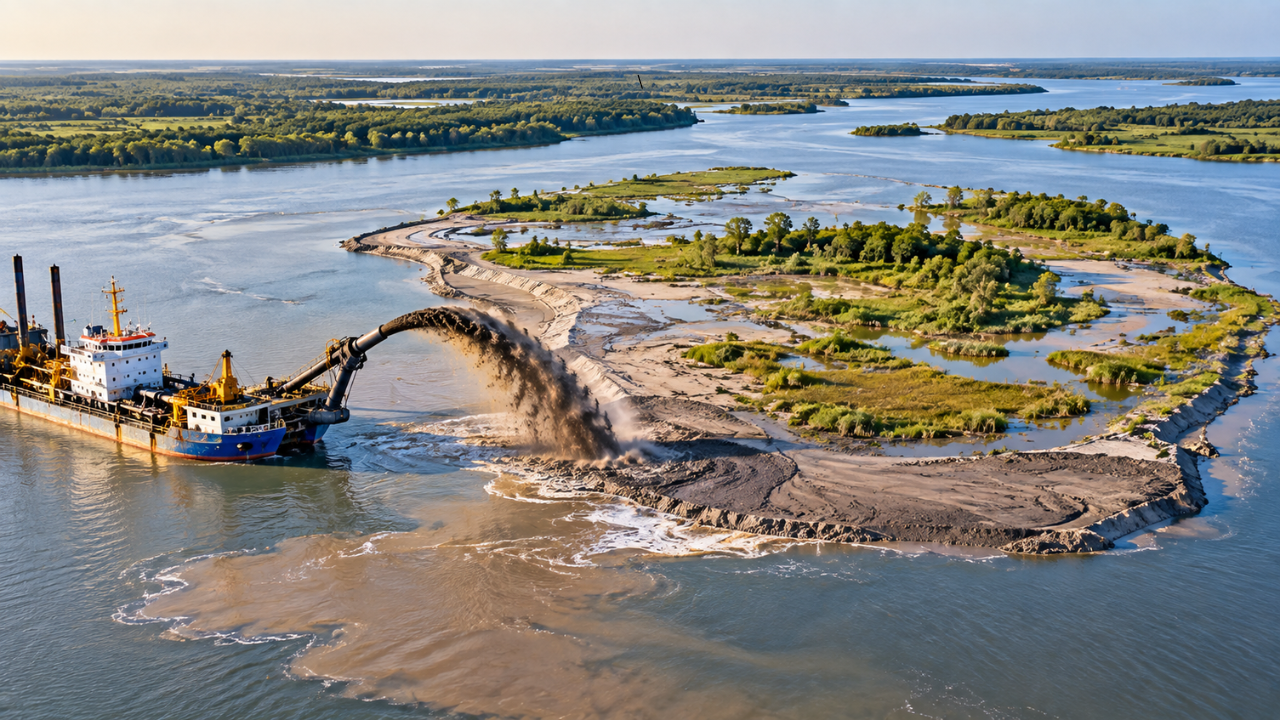
The Atchafalaya River in Louisiana contains an island built through the U.S. Army Corps of Engineers' strategic placement of dredged sediment, beginning in 2002. Between 2002 and 2014, between 0.5 million and 1.8 million cubic yards of sediment were placed at a mid-river site every one to three years, contributing to the development of an approximately 35-hectare island. Over time, repeated sediment placement allowed the site to expand, stabilise and develop into a more established riverine landscape. The US Army Engineer Research and Development Centre later surveyed the site to document its wetlands, vegetation, fauna and soils. The 2014 technical note also reported that the island's growth reduced the river's cross-sectional area and increased flow through the navigation channel, helping reduce shoaling and maintenance dredging requirements.
Get breaking news anytime, anywhere. Download the TOI app now!