Get all your news in one place.
100's of premium titles.
One app.
Start reading
The Times of India
The Times of India
World
TOI World Desk

Scientists map more than 1,000 previously hidden coral reefs in Australia

Thousands of kilometres of northern Australia's coastline can look deceptively simple from above. Much of the water is clouded by sediment, making coral formations difficult to distinguish from the shifting patterns on the surface. According to the Australian Institute of Marine Science (AIMS), in 2026, scientists found a way to make those hidden structures easier to see without sending a survey vessel into the water. By combining large numbers of satellite images, researchers from the Australian Institute of Marine Science and the University of Queensland identified and mapped more than 1,000 coral reefs that had not previously appeared on detailed maps. The work stretches from Western Australia towards western Cape York in Queensland, giving marine planners a much clearer picture of reefs that had remained largely unmapped.

Get breaking news anytime, anywhere. Download the TOI app now!

How one researcher turned changing satellite images into a reef-mapping tool

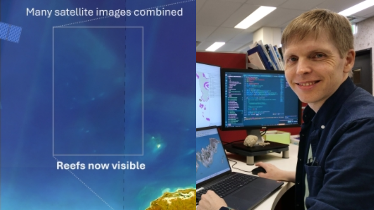
As reported by AIMS , the idea behind the project began years before the new maps were produced. Dr Eric Lawrey, an e-Atlas project manager at the Australian Institute of Marine Science, had been looking at satellite imagery of Australia's northern coastline when he started noticing shapes that appeared to be reefs. There was a problem, though. A single image rarely gave a reliable view.

Northern Australian waters can be heavily affected by suspended sediment, leaving the sea looking almost uniformly coloured from above. Reefs beneath the surface were difficult to separate from the constantly moving patterns created by the water. Lawrey realised that the movement itself could help solve the problem.

Hundreds of images revealed what one could hide

Rather than relying on an individual satellite photograph, the team combined roughly 200 images of the same areas, taken at different times. The changing water patterns moved from image to image. The reefs did not. When the images were combined, those shifting surface effects became less prominent while the persistent shapes of reefs were strengthened. Structures that had been difficult to distinguish in individual photographs became much easier to recognise.

It was a form of desktop exploration. There was no need for the researchers to travel by boat simply to establish where many of these formations were located. Once the reefs could be seen more clearly, their boundaries could be mapped.

More than 1,000 reefs emerged from the imagery

According to AIMS official X (Twitter) post, the mapping revealed more than 1,000 previously uncharted coral reefs across northern Australia.

The source describes the area as extending from the Houtman Abrolhos in Western Australia to western Cape York in Queensland. Many of the reefs are considerably smaller than those associated with the Great Barrier Reef, but their combined presence changed the picture of how extensively coral habitat is distributed along the northern coastline.

The team ultimately produced a much broader classification of the region, identifying more than 3,600 coral reefs alongside about 2,900 rocky reefs.

Sign up to read this article
Read news from 100's of titles, curated specifically for you.
Already a member? Sign in here
Related Stories
Top stories on inkl right now
One subscription that gives you access to news from hundreds of sites
Already a member? Sign in here
Our Picks
Fourteen days free
Download the app
One app. One membership.
100+ trusted global sources.