Tapping into NASA satellite data, a new technology is helping farmers in Bangladesh reduce water waste while irrigating rice crops — an effort that could ultimately mitigate the water and energy footprint of the country's large-scale rice production.
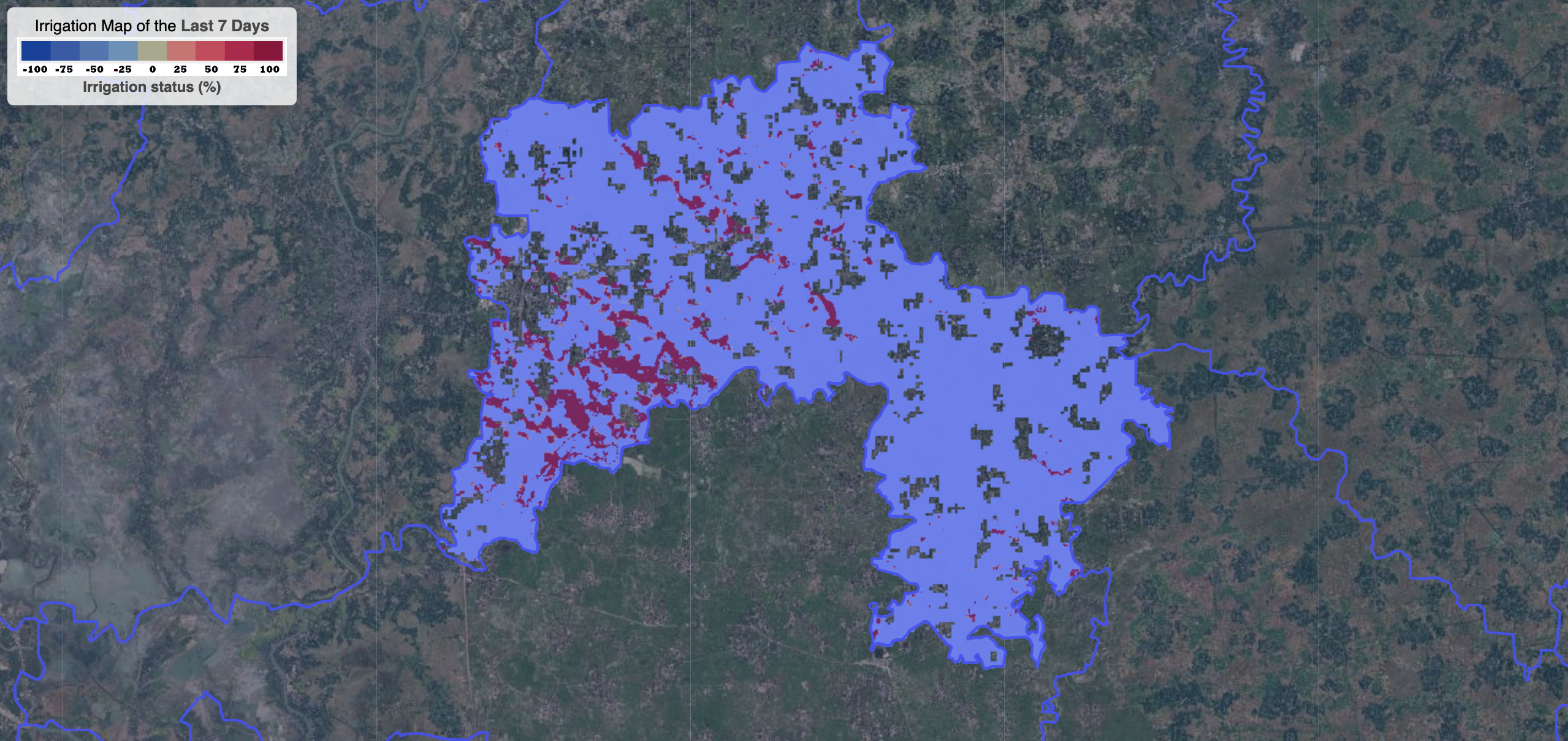
The latest version of the Integrated Rice Advisory System (IRAS), a collaboration between the University of Washington and Bangladesh's Ministry of Agriculture, uses data from NASA's Earth-observing Landsat satellite to estimate the amount of water rice crops have consumed. Researchers can compare that data to how much water the crops really need, based on weekly weather forecasts and by taking into account recently performed local irrigations.