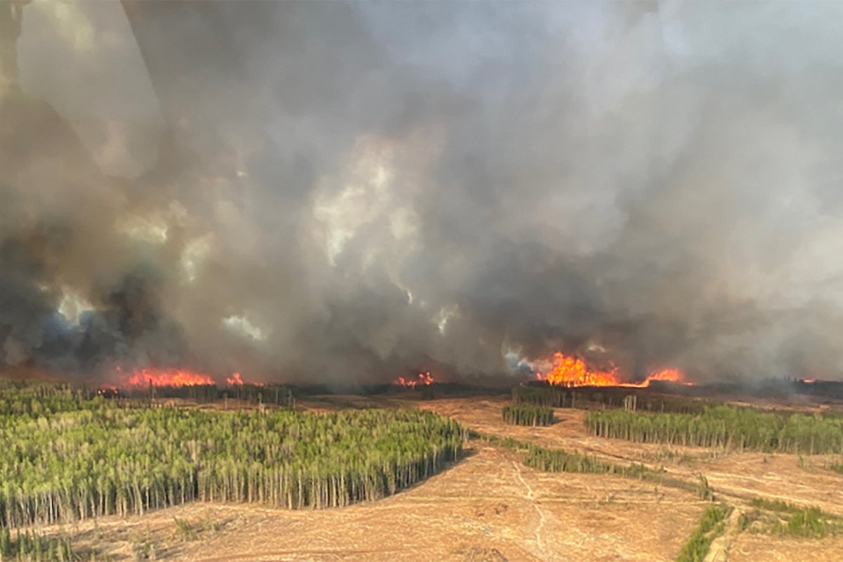
As wildfires continue to rage in western Canada, the smoke clouds they have generated have reached the Atlantic Ocean.
A new satellite image captured by the European Union’s Copernicus Atmosphere Monitoring Service (CAMS), shows how smoke from the numerous fires has migrated across the North American continent.
Western Canada has been besieged by fires for weeks, with some 30,000 people forced to evacuate their homes in Alberta for safer ground. The fires have already burned nearly one million acres of Canadian land, with the damage expected to continue into next week at a minimum.
The New York Times reported earlier this week that 110 fires are burning in the province, which has declared a state of emergency. Alberta is home to several major Canadian cities, including Calgary and its capital Edmonton. The province, which borders British Columbia to the west and Saskatchewan to the east, is known as a major producer of oil — so much so that Edmonton’s hockey team is known as the Oilers.
Residents who have been forced to leave their homes in the area will be compensated for their trouble, with each adult who has been displaced for seven straight days set to recieve $1,250 plus an additional $500 for each dependent under the age of 18.
Wildfire season across the west has lengthened and intensified along with the pace of climate change, with Canadian provinces like Alberta acknowledging that “climate change will likely result in long-term changes in temperature and precipitation, as well as increased frequency and severity of weather events such as droughts, floods, forest fires, and severe storms.”
Wildfires in the west can, as the CAMS images shows, have effects well beyond their geographical area. CAMS, run by the European Union (EU) to provide high-quality air forecasts and highlight the effects of air polution on the environment. One of CAMS’ Copernicus Sentinel-3 satellites took the image of the smoke clouds from the Alberta fires reaching the Atlantic Ocean on Tuesday.


