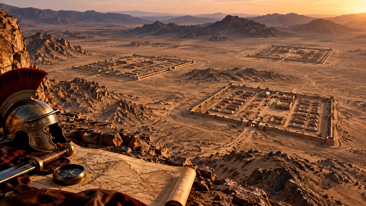
At the University of Oxford, a team that records endangered heritage sites across the Middle East and North Africa used freely available satellite images to find and document archaeological remains. Oxford attributed the discovery to Michael Fradley, who first spotted a faint rectangular outline on Google Earth while the team was exploring the border zone between southern Jordan and Saudi Arabia. It was a typical formation of Roman soldiers' enclosures, which were erected when troops were on the march. An investigation of the nearby terrain revealed additional formations in a similar direction.
Get breaking news anytime, anywhere. Download the TOI app now!