Get all your news in one place.
100's of premium titles.
One app.
Start reading
Space
Space
Science
Rahul Rao

NASA is flying planes low over the US to make maps of air pollution sources

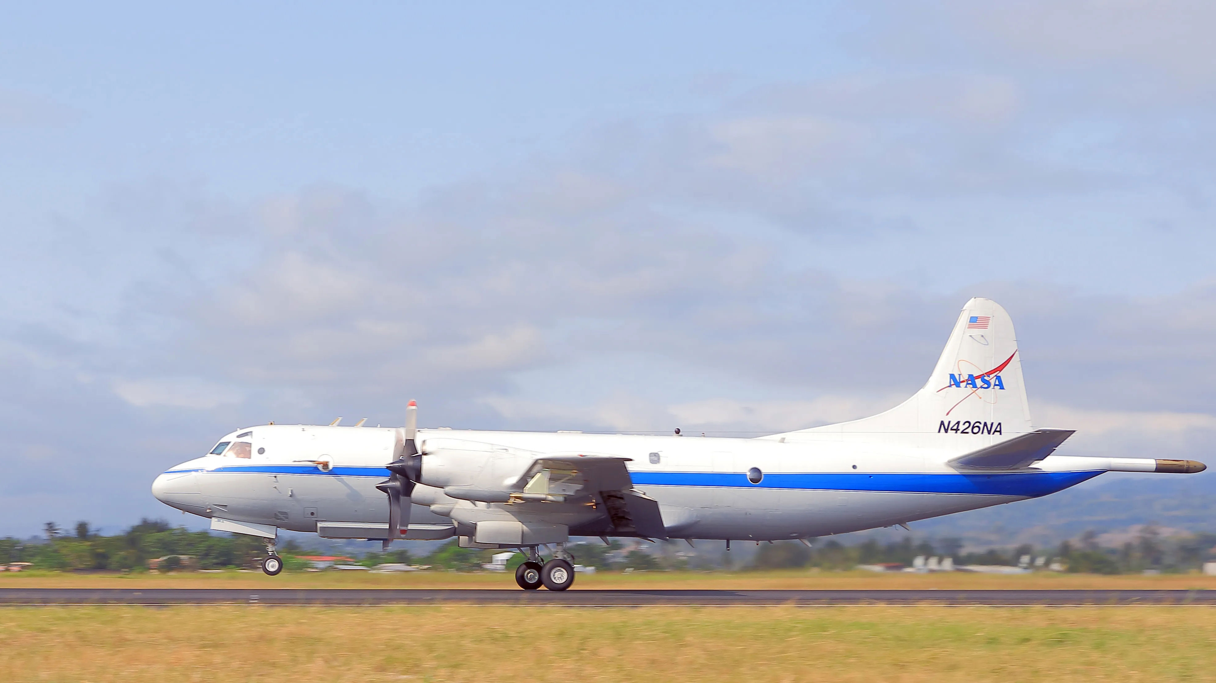
A white plane is seen on a runway. It has a NASA sign on its tail.

We've reached a point when scientists can easily gauge levels of greenhouse gases or other air pollutants just by measuring their concentrations in the atmosphere. However, with these measurements alone, it is not necessarily obvious where the pollution actually comes from. 

How could we tell which specific neighborhoods in a city, for example, spawn the most carbon dioxide? That's important information because only then can scientists start figuring out how to mitigate greenhouse gas emissions, especially as Earth continues to warm due to human-driven climate change. 

Sign up to read this article
Read news from 100's of titles, curated specifically for you.
Already a member? Sign in here
Related Stories
Top stories on inkl right now
One subscription that gives you access to news from hundreds of sites
Already a member? Sign in here
Our Picks
Fourteen days free
Download the app
One app. One membership.
100+ trusted global sources.