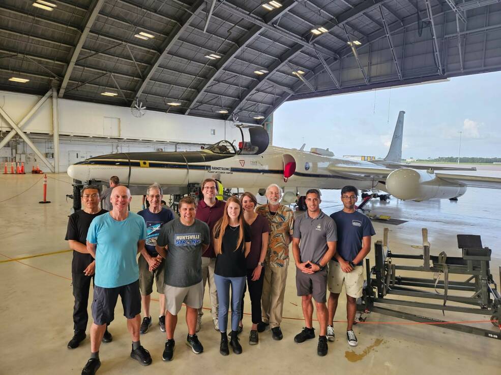
NASA pilots flew a high-altitude science aircraft directly into thunderstorms and recorded incredible data on gamma-ray flashes.
Thunderstorms can create powerful updrafts and downdrafts of wind that accelerate air and water to high speeds. As ice crystals collide in these swirling air currents, electrons are stripped away from them, generating the electric fields that produce lightning. Under certain conditions, these free electrons can also create flashes of gamma rays, the shortest and most energetic waves in the electromagnetic spectrum. Thunderstorms can emit two different types of gamma-ray radiation: Short gamma-ray flashes and longer gamma-ray glows that can last from minutes to hours.
To better understand these phenomena, an international group of scientists flew NASA's high-altitude ER-2 (Earth Resources 2) aircraft as close as safely possible to thunderclouds that stretched as high as 10 miles (18 kilometers), according to a statement from NASA's Marshall Flight Center in Alabama. Doing so allowed the team to gather "the most detailed airborne analysis of gamma rays and thunderclouds ever recorded," according to the statement.
Related: Gamma rays: Everything you need to know about these powerful packets of energy

Researchers from the University of Bergen in Norway, the U.S. Naval Research Laboratory (NRL) and three different NASA centers participated in the study, known as Airborne Lightning Observatory for Fly's Eye GLM Simulator and Terrestrial gamma-ray flashes, or ALOFT. The data the program has gathered could "help scientists see when storms are strengthening and provide extra lead time of information to keep the public safe from the threat of lightning," NASA's Timothy Lang said in the statement.

The aircraft flew out of Tampa, Florida and conducted over 60 hours of observations. A unique gamma-ray detector developed at the University of Bergen enabled researchers to collect data in real-time, enabling them to direct pilots towards thunderclouds that actively glowed with gamma-ray radiation.
Another instrument aboard the aircraft, the Fly's Eye GLM Simulator (FEGS), captured data in the near-infrared and ultraviolet wavelengths of the electromagnetic spectrum that are emitted by lightning yet are invisible to current satellites. "These smaller, less dense flashes are known as precursors of when storms are turning severe," Lang said.

The high-altitude NASA ER-2 aircraft used in the study is one of only two in the agency's possession. The aircraft can fly extremely high in the sky, above 99% of Earth's atmosphere. They were based on the Lockheed U-2 spy plane and were acquired by NASA in 1981 and 1989, respectively.
NASA's two ER-2 aircraft have flown more than 4,500 missions to date, and one of them set an extreme altitude record for its weight class in 1998 when it got 68,700 feet (21 kilometers) above Earth, according to a NASA fact sheet. (For perspective: Commercial airliners generally cruise at altitudes around 35,000 feet, or 11,000 m.)
NASA's ER-2 aircraft have been used to conduct studies on new satellite sensors, global warming and ozone levels, atmospheric phenomena and even snowfall.


