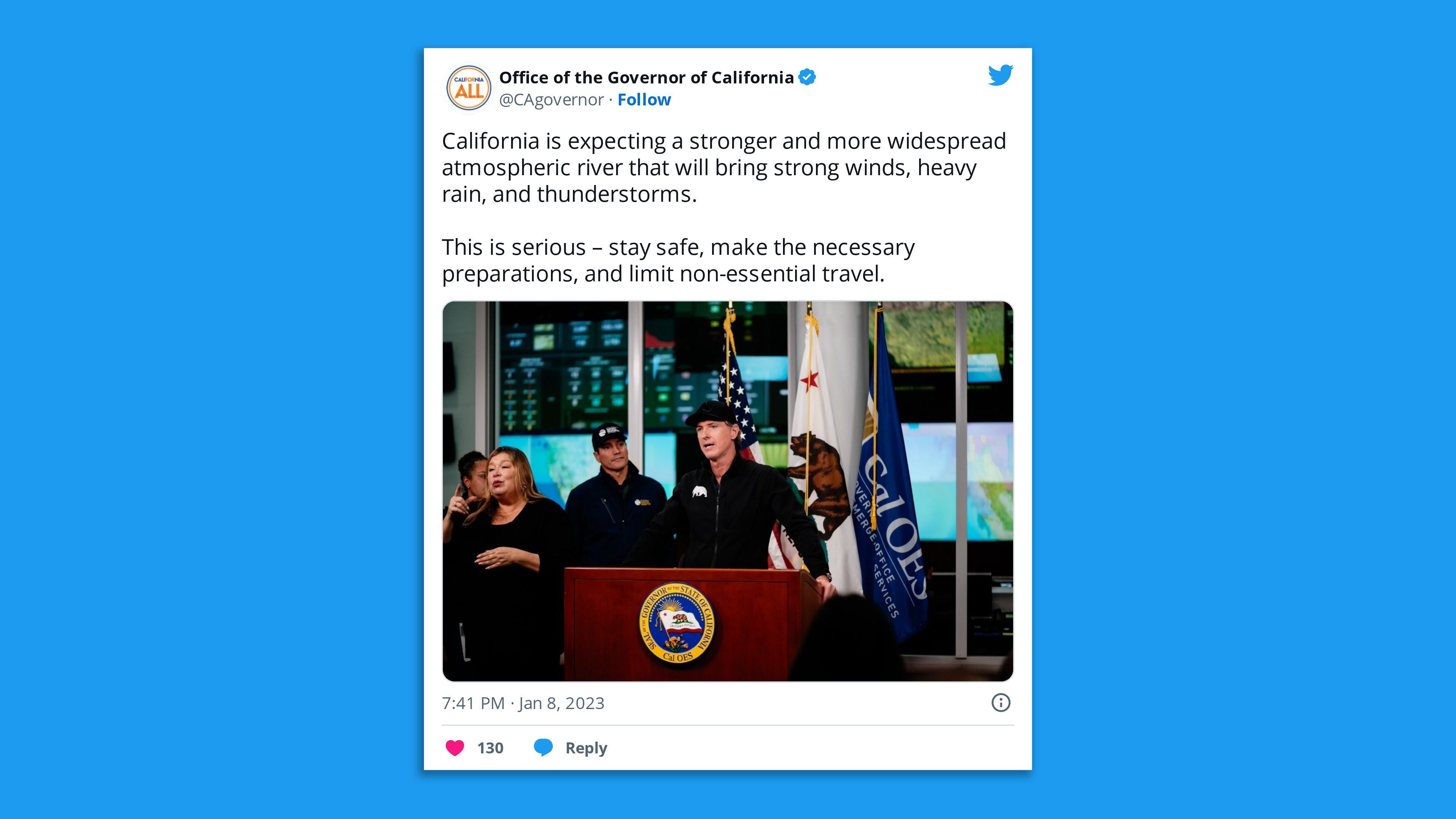
California Gov. Gavin Newsom is asking President Biden to make an emergency declaration in response to a series of deadly storms, as the National Weather Service warned the "most potent system" would arrive Monday.
The big picture: The latest in a barrage of destructive atmospheric rivers that've caused widespread power outages since late last month began unleashing more powerful winds and heavy rains on California Sunday night — prompting Sacramento County to issue evacuation orders for Wilton-area residents, with flooding "imminent."

State of play: More than 424,000 Californians were without power, over 2,900 others were evacuated from their homes and 12 people had been confirmed killed in the storms, said Nancy Ward, director of the governor’s Office of Emergency Services at a briefing Sunday.
- "We've already had more deaths in this flood storm since December 31st than we had in the last two fire seasons of the highest fire acreage burned in California," Ward added.
Threat level: "In this weather pattern, additional rain on saturated soils will lead to considerable flood impacts, including rapid water rises, mudslides and burn scar debris flows," the NWS said in an update Sunday evening.
- "Widespread mountain snow and high winds will also produce issues across the state," it said.
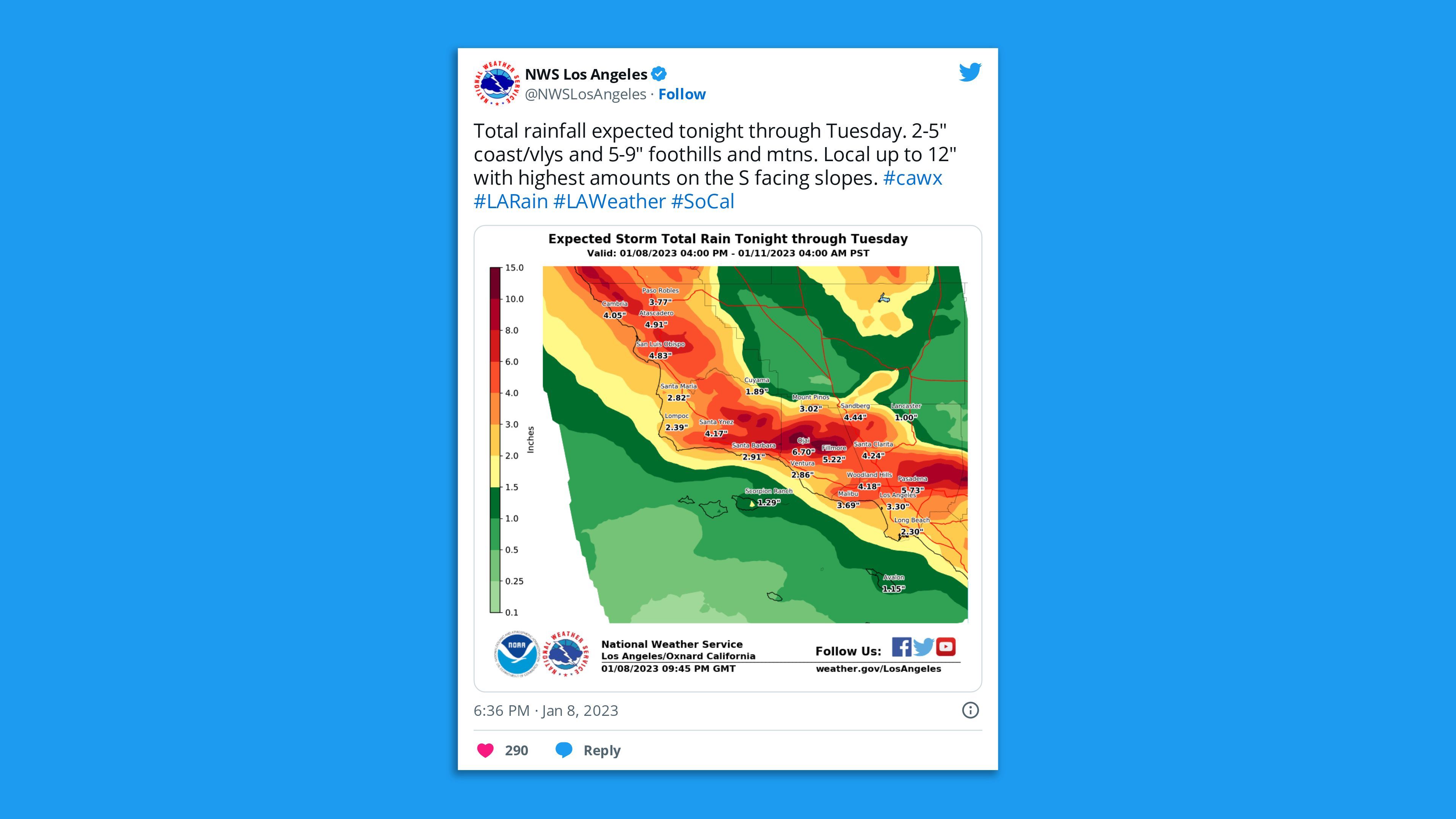
- "Heavy rain is expected to add up to several inches across much of central California through Tuesday. The cumulative effect of successive heavy rainfall events will lead to additional instances of flooding. This includes rapid water rises, mudslides, and the potential for major river flooding."
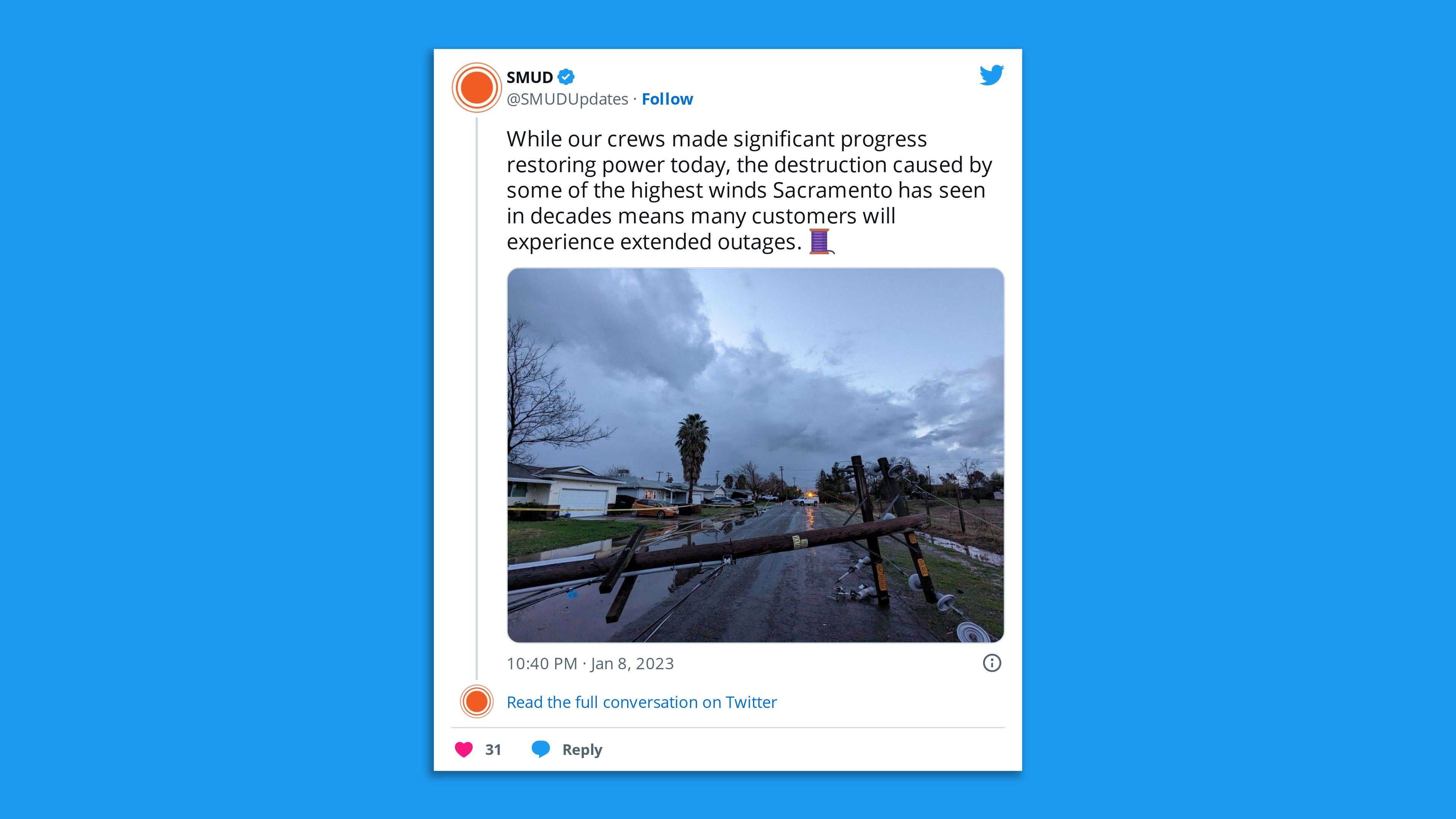
- The Sacramento Municipal Utility District said many customers would experience extended outages due to destruction from the high winds pummeling the area.

Of note: Newsom declared an emergency last week in response to an atmospheric river storm associated with a bomb cyclone that brought heavy rains and hurricane-force winds to California.
What we're watching: There's a moderate risk of excessive rainfall in most of central California on Monday, extending southward towards the Transverse Ranges of southern California, per the NWS.
- "As moisture continues to sink southward on Monday night and another push of rainfall enters on Tuesday, flash flooding is increasing likely over the southern California coastal ranges through early this week," the weather service said.
- "Susceptible terrain and areas near recent burn scars will be most at risk for debris flows and rapid runoff."

Meanwhile, for the higher terrain of the Sierra Nevada, extremely" heavy snow and intense snowfall rates" was expected to "make travel very dangerous to impossible at times, including the potential for road closures, with total snowfall amounts expected to be greater than 6 feet are possible above 7,000 feet, according to the NWS.
- "This amount of additional accumulating snow on top of an already well built snowpack is likely to increase the threat of avalanches and strain infrastructure," the weather service said.
- "Gusty winds are also expected to spread onshore with the approaching system and could lead to the threat of downed trees and power outrages. The combination of saturated soil and gusty winds could exacerbate the tree damage threat."
Between the lines: Atmospheric rivers are potent but narrow currents in the air that can carry vast amounts of water vapor thousands of miles from the tropics to mid-and-northern latitudes.
- Climate change is adding even more moisture to atmospheric rivers, enabling them to dump higher rain and snow totals, per Axios climate and energy reporter Andrew Freedman.
- California is still in a long-term severe drought, and studies show that climate change increases the odds of weather whiplash events from drought to flooding and back again.
Editor's note: This is a breaking news story. Please check back for updates.


