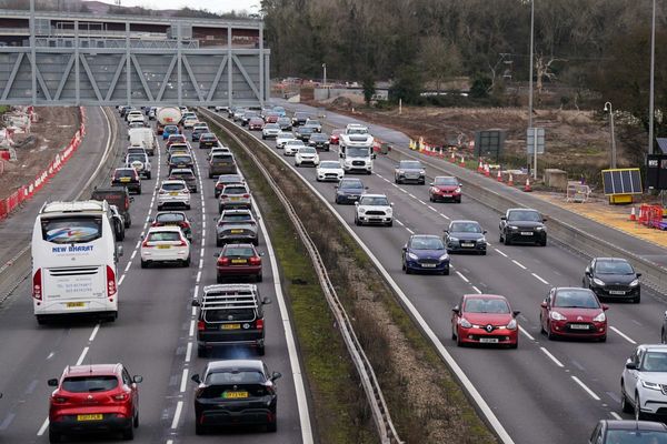
The three-year-running La Niña weather system is deteriorating and most likely on the way out, according to the latest update from the Bureau of Meteorology. The next three months are expected to bring less rain and warmer weather, but what comes next and with what intensity remains uncertain.
“The most likely scenario is an El Niño by mid-year. The next likely is a neutral system. The least likely is another La Niña,” director of the University of Southern Queensland Centre for Applied Climate Sciences professor Scott Power told Crikey.
The two weather systems — La Niña (above-average rainfall) and El Niño (hot and dry conditions) typically form throughout March to June. They grow post-June, peak at the end of the calendar year or early the following year, and then dissipate. The current phase-out of La Niña is part of this year-long natural cycle.
“It’s a clock that resets itself around March, April, May,” Power said.
“Farmers in southern parts of the country would love to know what’s happening with weather systems before they plant in April, but that’s the least predictable time. It tends to be more predictable once the event has been established in June.”
That is due to what is called the “autumn predictability barrier” — an effective block for climatologists trying to get a strong read of what’s to come.
Based on past data, La Niña and El Niño weather systems collectively account for approximately 50% of annual weather systems. The remainder is neutral. But as University of Melbourne expert in climate science Dr Andrew King says, neither weather system comes with conditions set in stone.
The impact of La Niña on Australia is closely correlated to the magnitude of the event itself, but El Niño is much more erratic. A small El Niño might have a really big impact on Australia and vice versa.
“If we do have an El Niño, it doesn’t guarantee that next summer will be very hot or dry. It just raises the likelihood that it could,” King said.
King explains that hot and dry weather is not exclusive to El Niño, with some of Australia’s hottest summers on record occurring during neutral conditions. Rather than titles, King is more interested in the accumulative impact over time. Most droughts in Australia have a three-to-four-year lead-in period. Then comes water restrictions and behavioural change. It’s not immediate.
“We currently have very full catchments. Even if we did have an El Niño summer with dry conditions, it wouldn’t cause a really bad drought for a while,” he said.
While in some regions sodden ground creates a buffer for bushfires, there is also excessive vegetation growth to contend with. Once it dries out, it translates to hefty fuel loads.
So is one worse than the other? In short: it depends on where you are and what your metrics are.
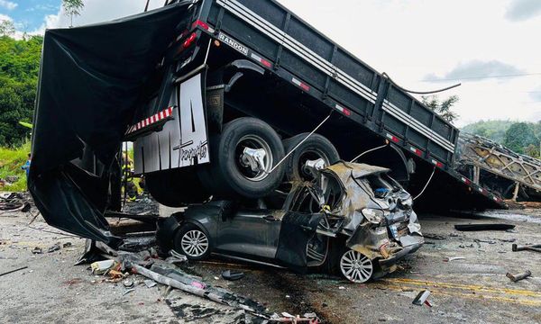
“In terms of infrastructure damage, you get more of that with floods. In terms of lives lost, the deadliest weather events are heat waves and we see more of that during El Niño. In terms of food, it depends what you’re growing,” King said.
Both King and Power were clear that whatever system is in store — El Niño, La Niña or neutral — is not the be-all and end-all. However, these remain important indicators of variability and change.
“Now we always have to think in terms of what will happen next,” Power said. “No one knows what the strength of the next event will be.”