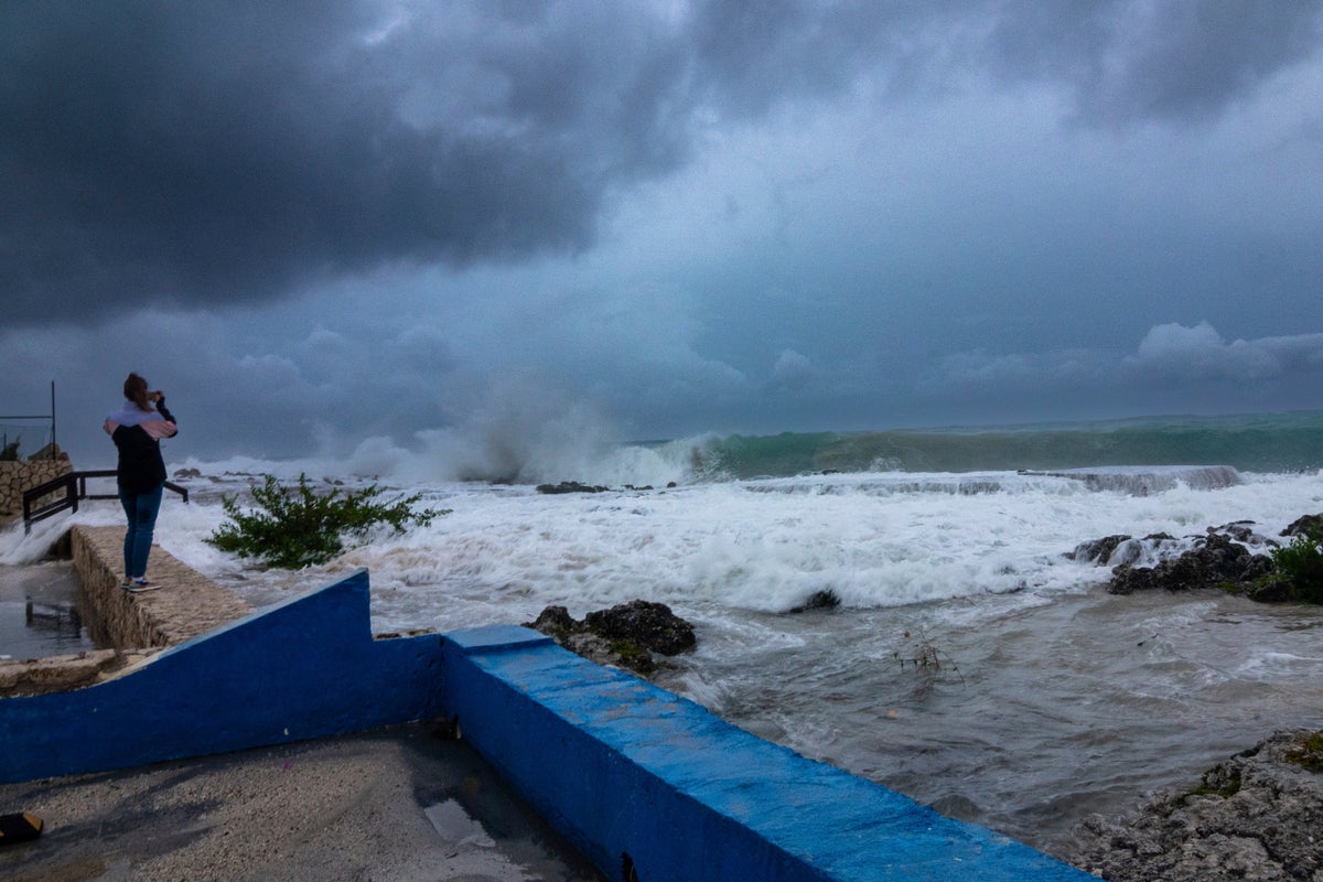
Hurricane Ian is quickly gaining monstrous strength as it moves over oceans partly heated up by climate change, just like 30 other Atlantic tropical storms since 2017 that became much more powerful in less than a day.
As the world warms, this turbo-charging of storms is likely to become even more frequent, scientists say.
After getting 67% stronger in less than 22 hours from Monday to Tuesday, Ian is bearing down on Florida as a likely Category 4 hurricane that threatens to deliver a nightmare storm-surge to Tampa Bay.
Ian's so-called rapid intensification occurred after it traveled over Caribbean waters that are about 1.8 degrees Fahrenheit (1 degree Celsius) warmer than normal, largely because of climate change. Colorado State University hurricane researcher Phil Klotzbach said the warm water creates “a lot more rocket fuel for the storm.”
While climate change doesn't create Ian and other hurricanes, scientists say that a warming world means an increase in rapidly intensifying storms. Climate change also is making stormsslower and wetter, worsening deadly storm surges through sea-level rise, increasing freshwater flooding and expanding the proportion of monster Category 4 and 5 storms, like Fiona last week, several studies show.
The current hurricane season had been uncharacteristically mild until about a week ago because of dry air in the Atlantic. Yet while storms aren't necessarily more frequent, they are getting nastier because of global warming, experts say.
“In terms of impacts and climate change, yes, this season could be a harbinger of sort of what is to come,” said University of Albany hurricane scientist Kristen Corbosiero. “But it’s really hard to say that climate change has an impact on any one storm in terms of its formation or its individual intensity.”
The National Hurricane Center defines rapidly intensifying storms as those that gain at least 35 mph in wind speed in less than 24 hours. Their often unpredictable nature can cause major problems for coastal residents, emergency planners and forecasters. In Ian’s case, the meteorological conditions were so obvious that forecasters were warning about it days in advance.
While hurricane seasons fluctuate year-to-year, the 10-year running total of Atlantic and Eastern Pacific storms that rapidly intensified at some point during their life cycle increased by 35 percent between 1980 and 2020, according to an analysis of National Hurricane Center data by The Associated Press. From 2017 to 2021 there have been 30 rapidly intensifying storms in the Atlantic and 32 in the Eastern Pacific.
“That’s a staggering statistic,” said former National Oceanic and Atmospheric Administration climate and hurricane scientist Jim Kossin, now with the private Climate Service, a risk analysis firm. “What used to be a very, very rare event obviously has not been rare lately."
And a new yet-to-be-published study in a peer review journal shows that as hurricanes near the coast -- a danger point for people -- storms are intensifying more quickly than ever before, said Karthik Belaguru, a Pacific Northwest National Lab climate scientist who conducted the study. “It’s more likely because of climate change,” he said.
___
Data journalist Mary Katherine Wildman contributed from Hartford, Connecticut.
___
Follow AP’s climate and environment coverage at https://apnews.com/hub/climate-and-environment
___
Follow Seth Borenstein on Twitter at @borenbears


