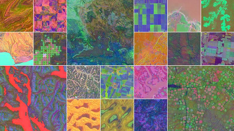
Satellites orbiting Earth to gather images and measurements of land, forests, cities, and coastal waters have helped scientists understand our planet.
However, since these images come from many different sources, it can be difficult to combine them into a single picture.