
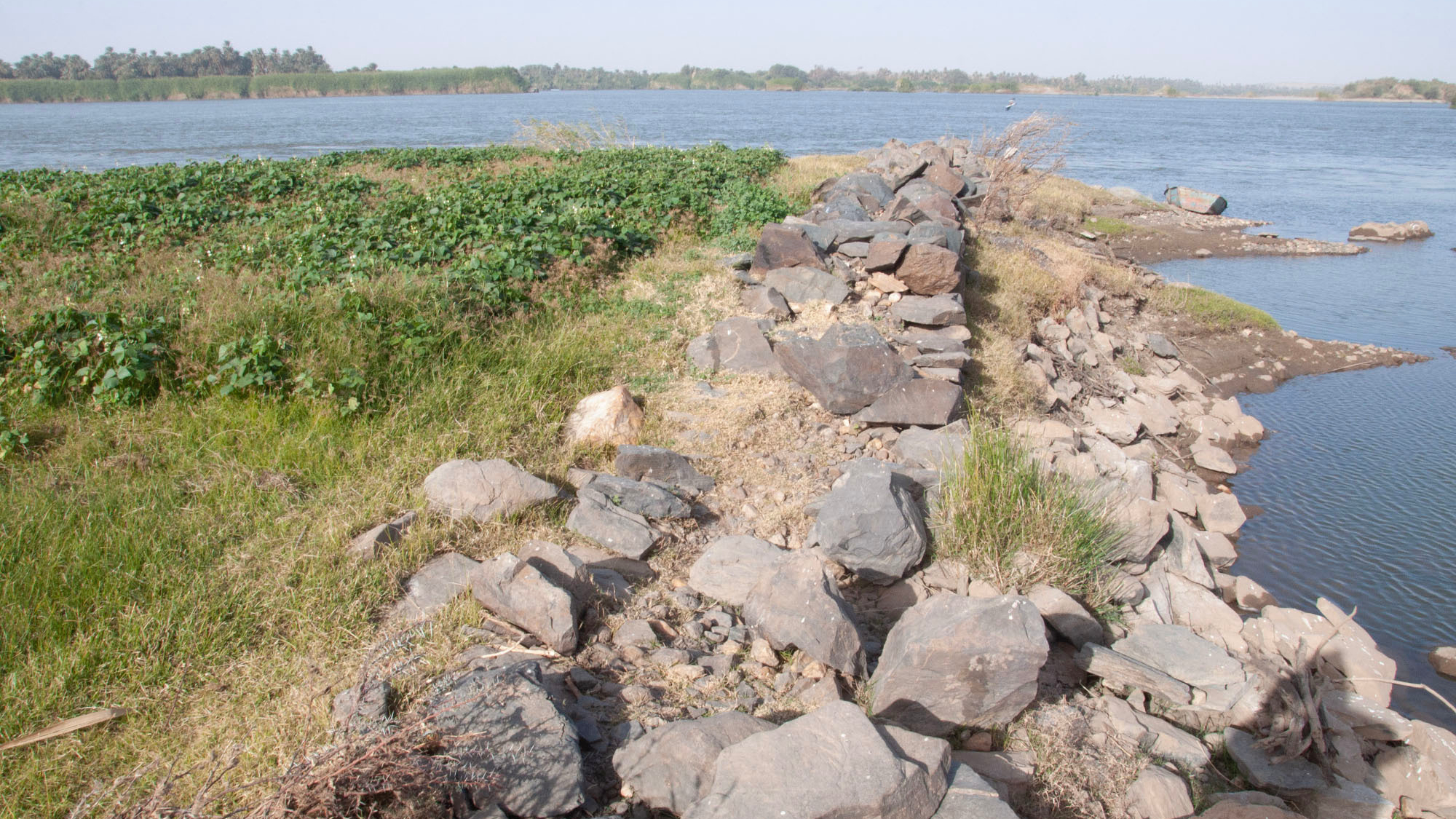
A vast number of stone walls spread across more than 600 miles (1,000 kilometers) of the Nile River were constructed over a period of 3,000 years and "functioned as flood and flow control structures," new research reveals.
The walls, called "groynes," stretch from the first cataract of the Nile River, in what is now Egypt, to the fourth cataract, in what is now Sudan. To study the groynes, researchers used a mix of satellite and aerial photography, as well as ground survey and archaeological excavation. They looked at aerial photographs of the region taken decades ago to document groynes that are now heavily damaged or destroyed, as well as interviewed local people. In total, the researchers documented more than 1,200 groynes, the team wrote in a paper published May 27 in the journal Geoarchaeology.