Get all your news in one place.
100's of premium titles.
One app.
Start reading
International Business Times UK
Technology
Jim Manzon

Chinese Firms Used AI Satellites to Show Iran Exactly Where US Troops Were Stationed in the Middle East

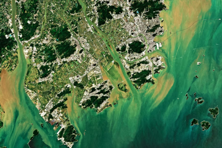
Commercial satellites and AI tools are giving US adversaries access to military-grade intelligence once reserved for spy agencies (Credit: Imagin Earth/Unsplash)

Three Chinese companies used artificial intelligence to pinpoint American fighter jets, fuel depots, and radar installations across the Middle East, then published the findings on open platforms accessible to anyone, including Iran's Islamic Revolutionary Guard Corps (IRGC).

The US Department of State sanctioned four entities on 8 May, including these three Chinese firms, for providing satellite imagery and geospatial intelligence that enabled Iranian military strikes against American forces during Operation Epic Fury. The sanctioned companies are Meentropy Technology, operating as MizarVision, Beijing-based The Earth Eye, and Chang Guang Satellite Technology.

Sign up to read this article
Read news from 100's of titles, curated specifically for you.
Already a member? Sign in here
Related Stories
Top stories on inkl right now
One subscription that gives you access to news from hundreds of sites
Already a member? Sign in here
Our Picks
Fourteen days free
Download the app
One app. One membership.
100+ trusted global sources.