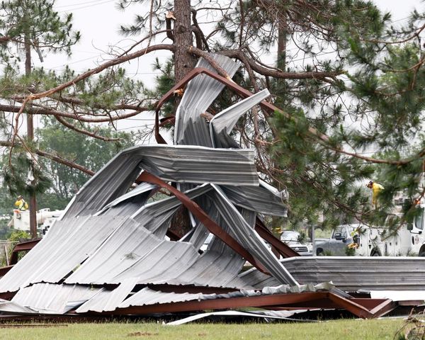
The impact of Beryl's powerful winds is being felt in various areas, particularly on the northern end of Galveston Bay near Morgans Point, where storm surge has reached about 5.5 feet. Elsewhere, areas are experiencing around 4 feet of storm surge. In the western portion of the Bay, near Eagle Point, storm surge levels recently reached 4.5 feet, posing significant risks to residents and properties in these regions.
One of the concerning aspects of the storm surge is the rapid increase in water levels. In some areas, water levels have climbed by as much as a foot in just 60 to 90 minutes, indicating the intensity and speed at which the surge is occurring. This rapid rise in water levels is a cause for alarm and underscores the urgency for residents to take necessary precautions and heed evacuation orders if issued.
Furthermore, the threat of storm surge is expected to persist and may even worsen as high tide approaches. High tide is projected to occur by 9:00 a.m. local time at the Galveston Pier, which could lead to further increases in water levels and exacerbate the already hazardous conditions in the affected areas.
Residents are advised to stay informed about the latest updates and warnings regarding Beryl's impact, particularly in relation to storm surge. Taking proactive measures to ensure personal safety and property protection is crucial during this time of heightened risk and uncertainty.


