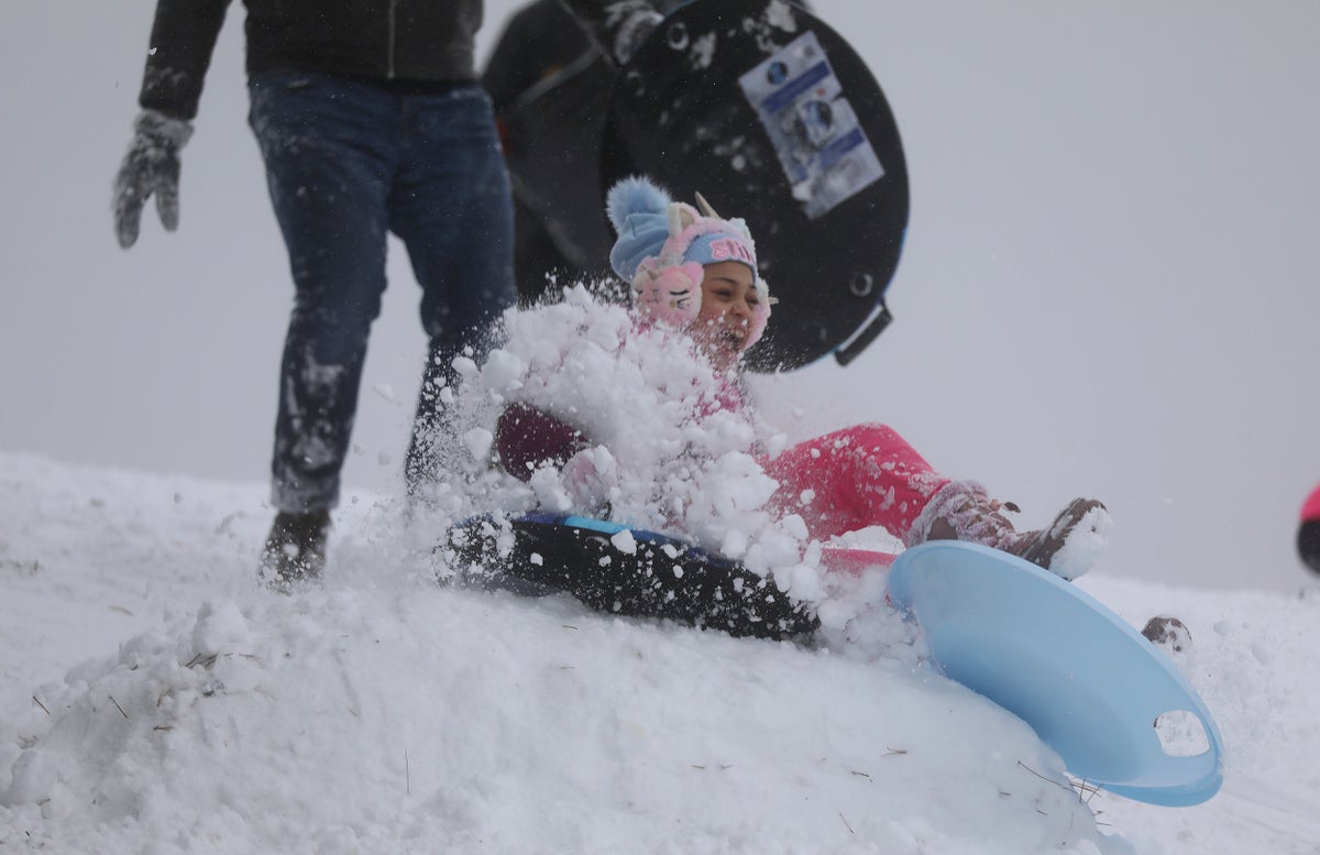
A “highly impactful” winter storm is expected to dump as much as a foot of snow Monday across the country's midsection, where blizzard and winter storm warnings are in effect.
The storm has the potential to bring 8 to 12 inches (20 to 30 centimeters) of snow to a broad area stretching from southeastern Colorado and western Kansas, through eastern Nebraska, large parts of Iowa, northern Missouri and northwestern Illinois, up toward the upper peninsula of Michigan, said Bob Oravec, a forecaster with the National Weather Service in College Park, Maryland.
“So a very, very highly impactful event coming forward,” Oravec said.
There were widespread school closing across eastern Nebraska on Monday ahead of the storm, where forecasters predicted 5 to 8 inches (12 to 20 centimeters) of snow. The district that includes the state capital, Lincoln, is among those where students were told to stay home. Lines were long Sunday at a Target Store drive-up in Omaha as residents stocked up on milk, bread and booze ahead of the storm.
The National Weather Service office in Des Moines, Iowa, warned of the potential for “widespread heavy, possibly extreme, snowfall,” with snowfalls of up to 9 to 15 inches (23 to 38 centimeters), “significant impacts” to Monday evening and Tuesday morning commutes, and possible whiteout conditions at times.
The threatening weather has already affected campaigning for Iowa’s Jan. 15 precinct caucuses, where the snow is expected to be followed by frigid temperatures that could drift below 0 degrees (-18 Celsius) by caucus day next week. It forced former President Donald Trump’s campaign to cancel multiple appearances by Arkansas Gov. Sarah Sanders and her father, former Arkansas Gov. Mike Huckabee, who had been scheduled to court Iowa voters on Trump’s behalf Monday.
In South Dakota, Sioux Falls Mayor Paul TenHaken urged residents not to travel Monday if they did not have to, and to give snowplows time and patience so they can clear the roads.
Much of western and southern Minnesota as well as west-central Wisconsin were also under winter storm warnings or advisories with snow accumulations of up to 10 inches (25 centimeters) predicted.
In Wisconsin, cancellations were already starting Monday morning, with forecasts prompting the state Homeland Security Council to call off a Tuesday meeting in Madison. The council advises Gov. Tony Evers on security issues. The state’s capital city was under a winter storm warning until early Wednesday morning with as much as 9 inches (23 centimeters) of snow and 40 mph (64 kph) winds on tap.
Northwestern Illinois was also under a winter storm warning with forecasts calling or 7 to 12 inches (18 to 30 centimeters) of snow by early Wednesday morning. The Chicago area as well as Gary, Indiana, were under winter storm advisories, with forecasts calling for up to 6 inches (15 centimeters) of snow by Tuesday evening and wind gusts of up to 30 mph (48 kph) in Chicago. Snowfall rates could exceed an inch per hour during the day Tuesday, the weather service said.
The storm follows a separate storm that has moved off the East Coast after dumping over a foot of snow Sunday on parts of Pennsylvania, New York state and portions of New England, Oravec said.
And another storm is on the way that will affect the Pacific Northwest into the northern Rockies, he said. Blizzard warnings were out for much of the Cascade and Olympic ranges in Washington and Oregon.


