In a first, Survey of India joins hands with private mapping firm for ‘Digital Twins’
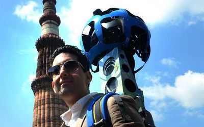
SoI & Genesys Intl. collaborate to create 3D maps of cities & towns for various planning applications. Genesys uses aerial & ground-mapping methods to create digital maps. The collaboration will allow Genesys to generate 'Digital Twins' & licence geospatial data products.

The Hindu ·

 The Hindu