
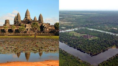
In 2007, satellite images, radar, and ground surveys revealed Angkor as the world’s largest preindustrial settlement complex
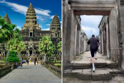
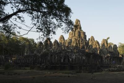
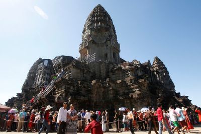
In 2007, a dedicated archaeological team successfully mapped Angkor, employing cutting-edge technology and techniques. Their discoveries illustrated that Angkor sprawled over roughly 1,000 square kilometers, featuring a sophisticated irrigation network. These revelations transformed perspectives on urban growth and population density in historical societies, offering a stark contrast to contemporary suburbs.…

The Economic Times ·















 The Independent UK
 Bangkok Post
 Bored Panda
 The Economic Times
 The Guardian - UK
 Top News
 Radio France Internationale
 The Guardian - AU
 The Orange County Register
 The Times of India
 The Week
 Times Life


