Google Maps has evolved beyond navigation and traffic reporting to become a crucial tool for community safety. While specialized apps like Watch Duty focus specifically on fire tracking, Google Maps' Crisis Alerts feature provides comprehensive emergency information accessible to anyone with a smartphone.
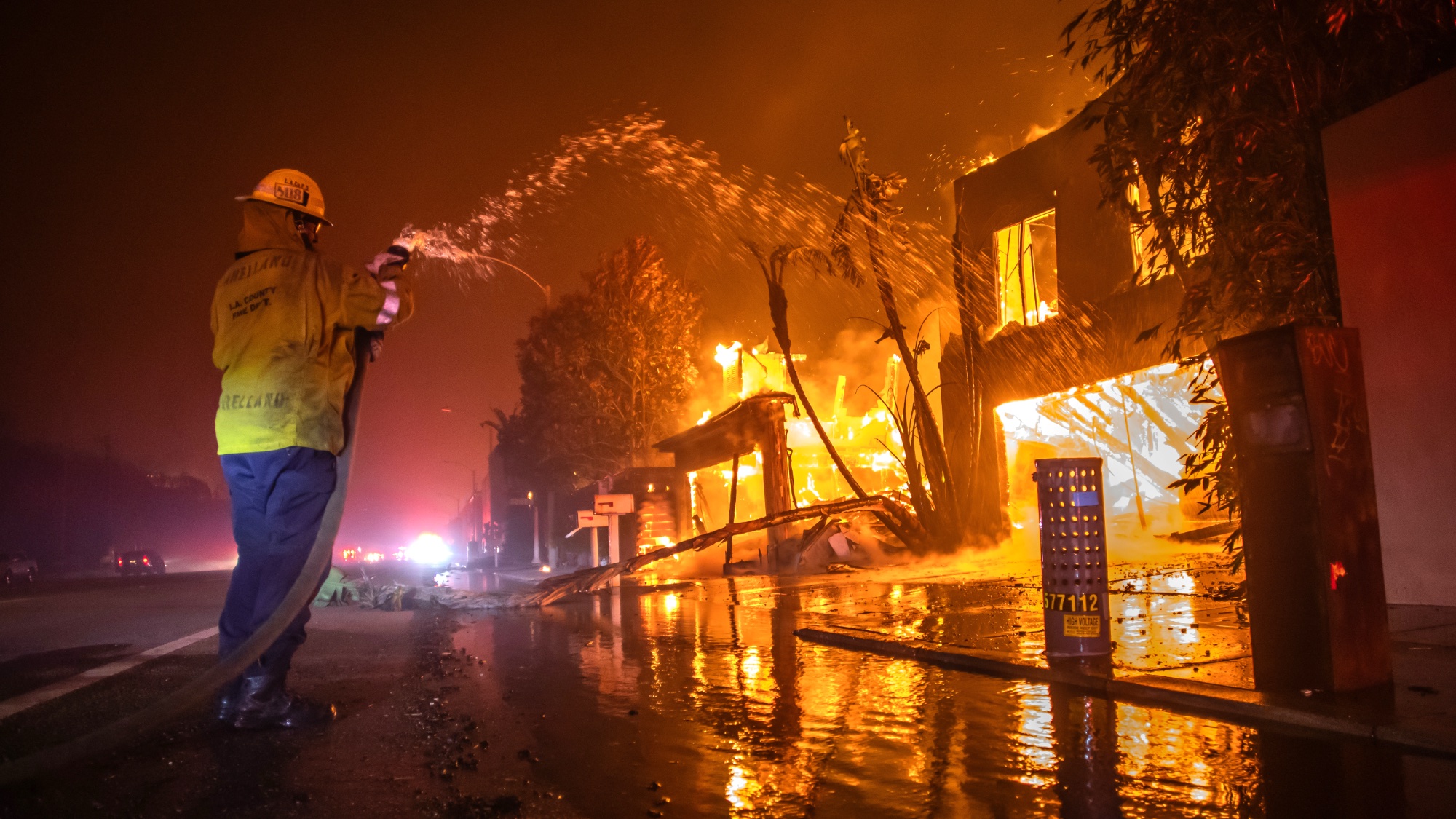
By combining data from SOS Alerts influenced by government agencies, first responders, trusted media outlets, and NGOs along with real-time satellite imagery from the National Interagency Fire Centre, it offers reliable, up-to-date information about active wildfires.