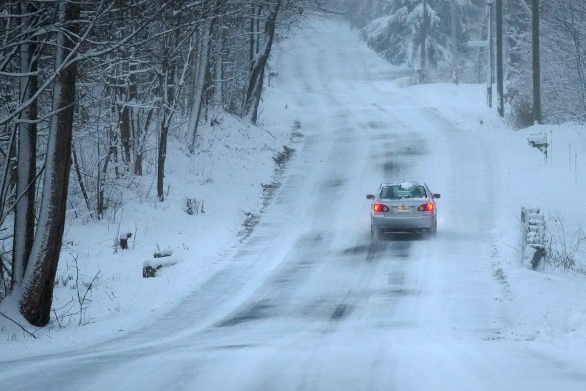
A major winter storm bringing heavy snow and freezing rain to some communities spread across New England on Sunday morning, sending residents scurrying to pull out their shovels and snowblowers to clear sidewalks and driveways.
Winter storm warnings and watches were in effect throughout the Northeast, and icy roads made for hazardous travel as far south as North Carolina.
The Northeast snow came as a Sierra Nevada storm packing heavy snow shut down a stretch of interstate Saturday and briefly knocked out power to tens of thousands in Reno, Nevada.
More than 13,000 electric customers in California were without power Sunday morning.
Some communities in Massachusetts had already recorded nearly a foot of snow by Sunday morning, according to the National Weather Service. More than 16,000 electric customers in the state were without power.
Snow totals were lower for coastal communities, with Boston reporting just a couple of inches. The snow was expected to continue throughout the day, with some areas topping out at more than a foot.
The storm reached into Maine with some locations seeing snow totals of up to 12 inches — with locally higher amounts over southern New Hampshire and southwestern Maine. Wind gusts up 35 mph (56 kph) could add to blowing and drifting snow. Moderate to heavy snow was expected to continue in Vermont, with total snow accumulations of 6 to 12 inches (15.2 to 30.5 centimeters).
The weather service said the “major winter storm” would continue into Sunday evening, with snow in parts of New England and rain and freezing rain in areas the central Appalachian mountains.
New York Gov. Kathy Hochul said Saturday that she expected two-thirds of her state to get 8 inches (20 centimeters) of snow or more, “fortunately missing some of our more populated areas downstate, the Long Island and New York City.”
“It’s going to be the first major snowstorm of the year and we’re ready for it,” she told Spectrum News.
In the West, a winter storm warning was in effect through Saturday night in the Sierra Nevada from south of Yosemite National Park to north of Reno, where the weather service said as much as 20 inches (51 centimeters) of snow could fall in the mountains around Lake Tahoe with winds gusting up to 100 mph (160 kph) over ridgetops.
The California Highway Patrol said numerous spinouts and collisions forced the temporary closure of I-80 for several hours from west of Truckee, California, to the state line west of Reno.
The weather service said that system would continue to bring heavy mountain snow and coastal rain overnight before moving into central and Southern California, then off to the Southwest and the southern Rockies.
The East Coast system was expected to track along the northeastern coastline throughout the weekend, with the heaviest snowfall expected in Pennsylvania, parts of the Hudson Valley and portions of New England.
In Massachusetts and portions of Rhode Island, the National Weather Service declared a winter storm warning from 4 p.m. Saturday through 1 a.m. Monday, with snow accumulations of between 6 and 12 inches and winds gusting as high as 35 mph (56 kph).
Boston Mayor Michelle Wu said the city was preparing for the storm but wasn’t expecting it to be a major event, and the timing of the snow over the weekend meant it would likely have less of an impact on city life. Storm surges were also not expected.
Ice arrived early Saturday to some western North Carolina and southern Virginia areas, ranging from a fine coating to around a quarter-inch (6.4 millimeters).
Forecasters also warned of another Northeast storm Tuesday into Wednesday that is expected to bring rain and some flooding as well as high winds and coastal flooding.


