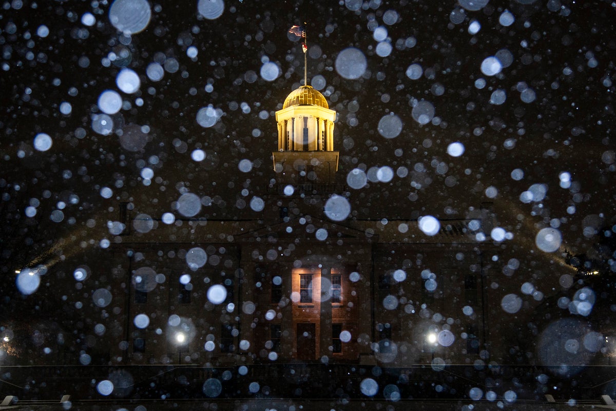
An Arctic blast is sweeping the United States, impacting swathes of the country this holiday season with a miserable mix of dangerous cold, blinding snow squalls and flash freezing.
The powerful winter storm will produce widespread, disruptive and potentially crippling impacts across the central and eastern United States between now and Christmas Eve, the National Weather Service warned.
Forecasters are also warning of the potential for a “bomb cyclone” – but what does this mean?
The weather phenomenon is technically called bombogenesis and whether it occurs all depends on how quickly the pressure drops.
As the jet stream pushes very cold air down from the Arctic and into the US, this mass of frigid air bumps up against the warmer air ahead of it.
And if the atmospheric pressure falls rapidly over a period of 24 hours, it can become a serious storm otherwise known as a “bomb cyclone”. They typically occur over water due to the high levels of warmth and moisture so it will be a rare event if a bomb cyclone happens over land.
Regardless, large parts of the US are in for a few days of hazardous weather. The system is so large that about 200 million people across 30 states from Washington to Florida are under winter storm warnings and advisories on Thursday. Some states declared emergencies due to the conditions.
Daytime temperatures across the central Plains will struggle to get above freezing, while areas further south in Texas and the Gulf Coast will experience temperatures in the single digits and teens on Thursday evening.
Snow squalls, or bursts of moderate to heavy snow lasting up to two hours, are likely to occur immediately behind the Arctic front as it treks from the mid-Mississippi Valley to the east coast.
The snow could lead to extremely hazardous travel conditions at times as they will be accompanied by gusts to 40 mph and the potential for sudden whiteout conditions.
Areas with standing water, particularly throughout the Ohio and Tennessee Valleys, could experience a flash freeze on Thursday afternoon and evening due to the extreme temperature drops.


