The Carcass as a Data Point
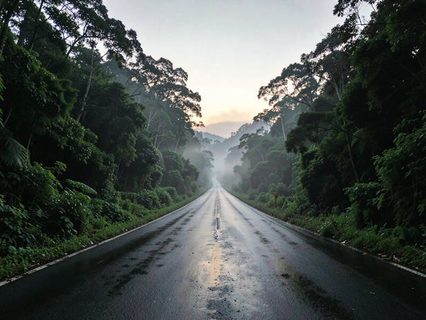
A mongoose on NH-48. A star tortoise on the Mysuru-Bengaluru expressway. A wolf spider the size of a palm on a rural district road in Vidarbha. None of these deaths made news. Each one, if recorded with GPS coordinates, a timestamp, and a species ID, becomes a node in a map that ecologists call a roadkill dataset, and a roadkill dataset, accumulated across seasons and years, tells you things about a landscape that camera traps and transect surveys often cannot.