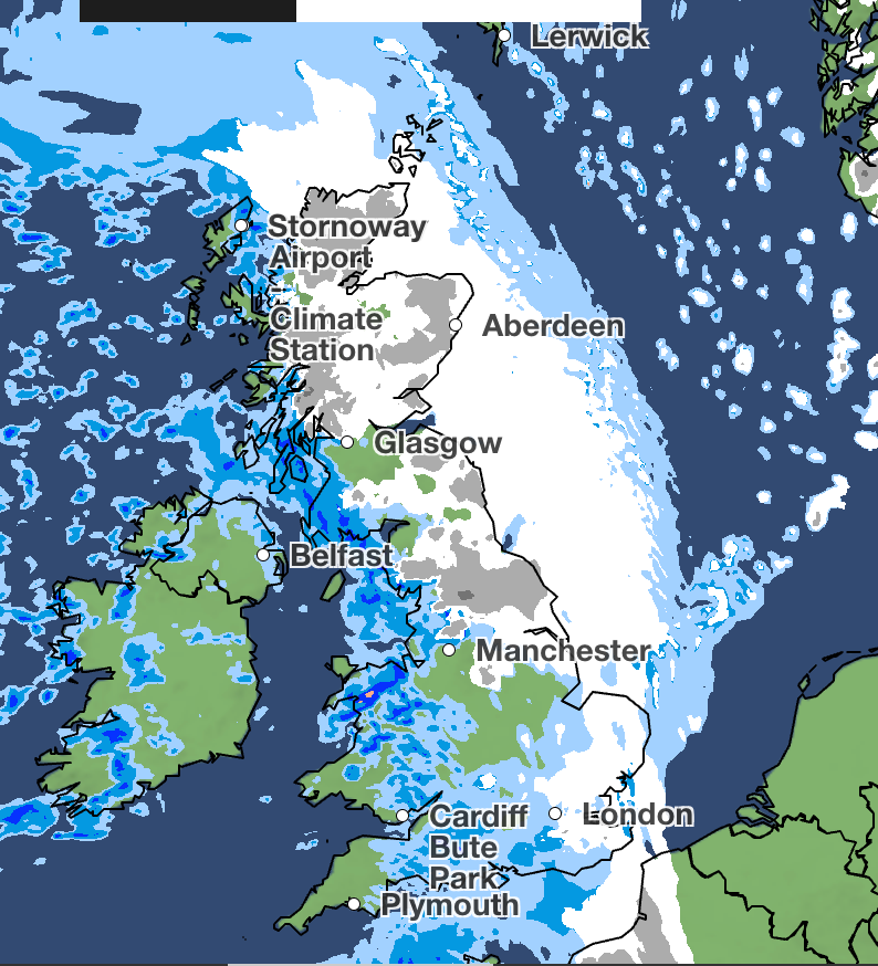
Wintry showers are expected to fall across parts of the UK this weekend as the Met Office issued multiple yellow weather warnings for snow and ice over the weekend.
An Arctic maritime air mass has plunged temperatures as the UKHSA issued a cold weather health alert, lasting until Monday.
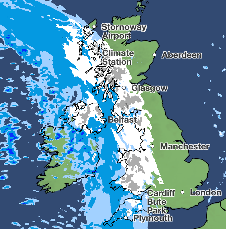
The Met Office said a band of rain and sleet had cleared southwards across England and Wales overnight on Friday, with snow expected in higher areas. As skies clear, temperatures will fall below freezing, leading to a risk of ice forming on untreated surfaces.
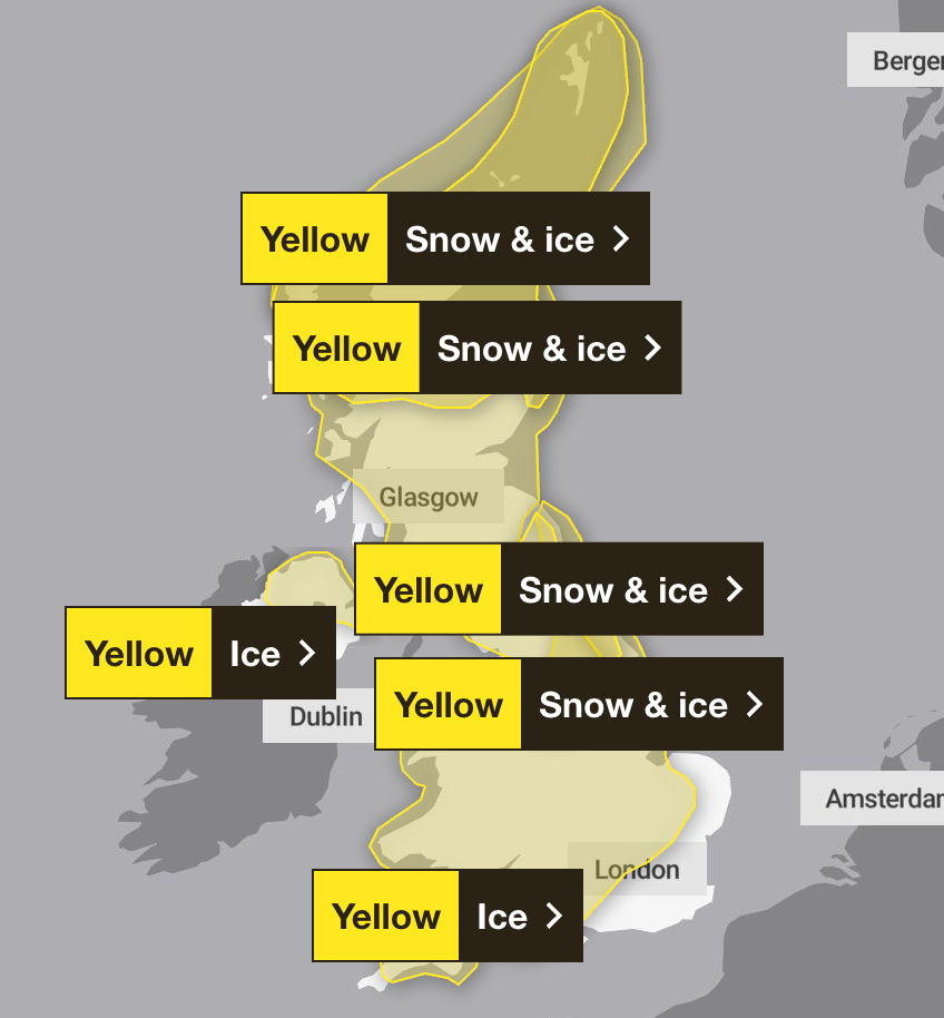
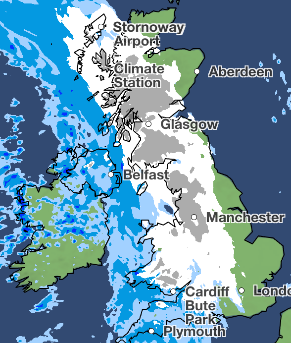
The weekend’s weather stays on track with bitingly cold temperatures on Saturday morning, with more snow expected across wide swathes of the UK, particularly on higher ground, until Sunday morning. Across the Scottish hills, up to 15cm of snow could fall overnight on Saturday.
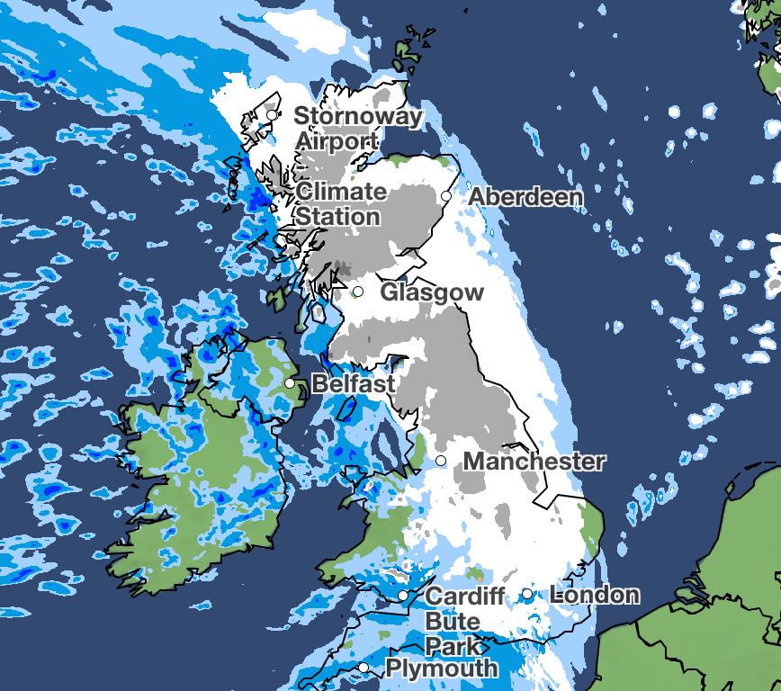
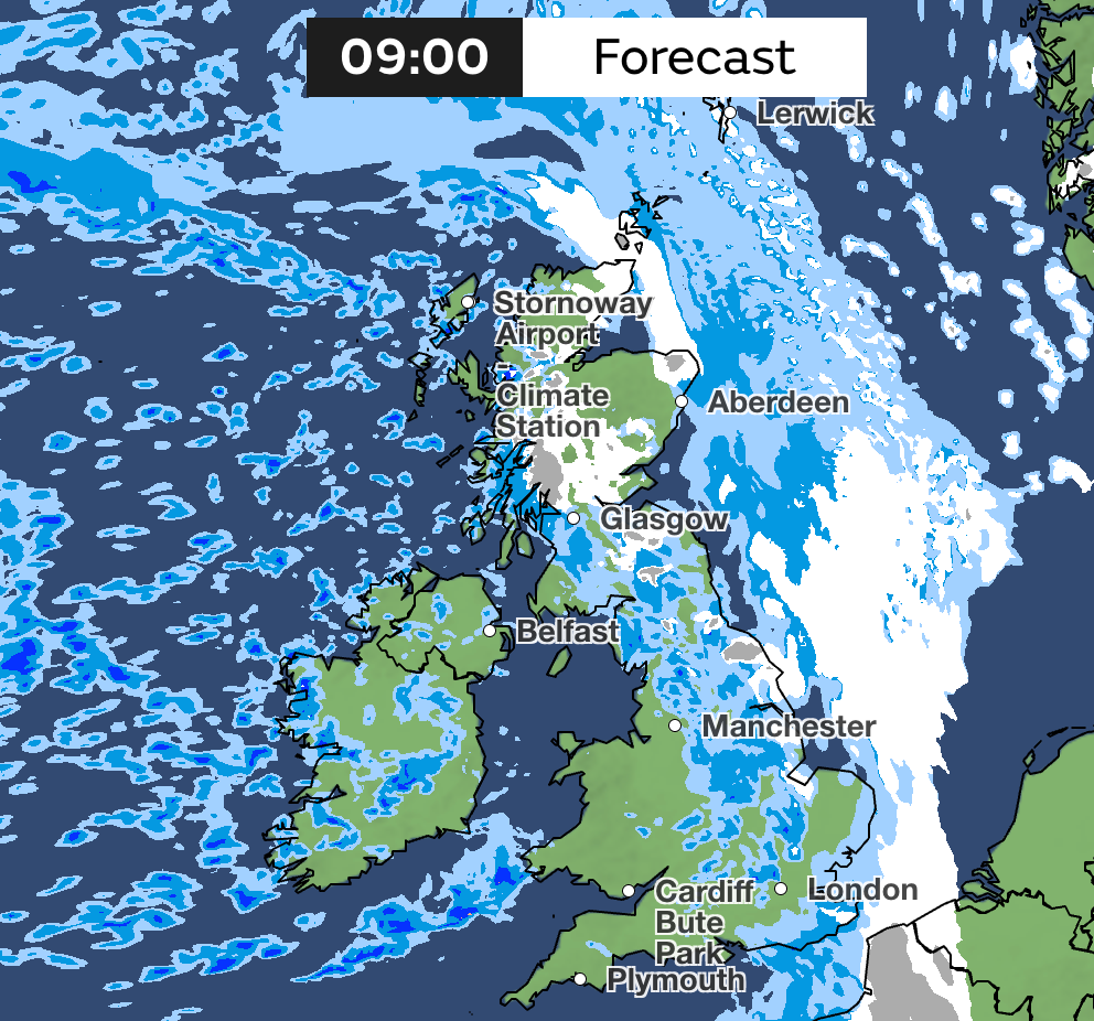
The Met Office said: “Outbreaks of rain spreading eastwards on Saturday night will fall as snow initially, even to low levels for a time, before becoming confined to higher ground as milder air arrives from the west.
“Temporary snow accumulations of 1-3cm will be possible at low levels, with 3-7cm possible above about 150m elevation, and perhaps 10-15cm above 400m.
“Areas sheltered to the north of high ground may see very little snow. Ice will be an additional hazard, particularly across northeast England and parts of Scotland, where precipitation has the potential to fall on frozen ground, leading to very slippery conditions.”
Saturday
After a frosty, locally icy start, Saturday will be largely dry with plenty of sunshine and light winds. However, cloud and rain arriving in the west later, with winds freshening.
Outlook for Sunday to Tuesday
Wind and rain, with some snow, clearing to brighter skies and showers on Sunday. Turning milder. Sunshine, showers and brisk winds on Monday. Rain arriving in the south on Tuesday.