
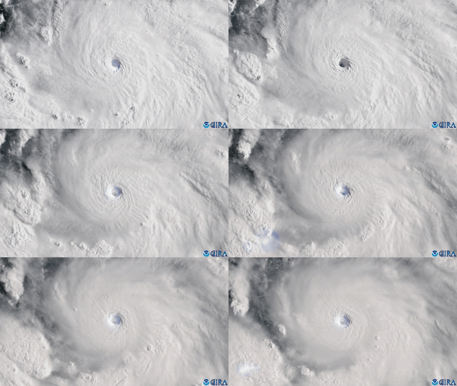
A weather satellite has captured stunning footage of Hurricane Erin crackling with flashes of lightning as it rapidly intensified into a Category 5 hurricane over the weekend.
The National Oceanic and Atmospheric Administration's (NOAA) latest geostationary satellite, GOES-19, recorded Erin as it strengthened into a hurricane on Friday (Aug. 15) and then topped the Saffir-Simpson Wind Scale with maximum sustained winds of 160 mph (260 km/h) on Saturday (Aug. 16).