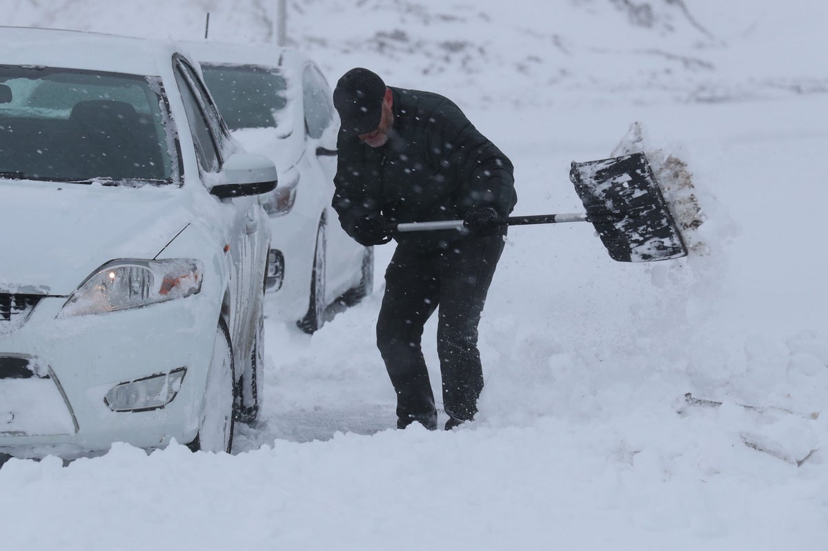
The UK is set to have another cloudy day with some showers in a few pockets on the first day of March as the Met Office forecasted a spell of wintry weather this month.
While the country is set to witness “some wintry showers and snow in the north and east at times”, the weather may not be as dramatic as 2018’s “Beast From The East”, the Met Office said in its long range forecast.
The forecaster predicted settled conditions for the rest of the period but warned of below-average temperatures which will gradually trend up by the end of the month.
On Wednesday, showers are mainly going to be witnessed in the eastern and central areas, while northwestern Scotland and the south and southeast may get to see some sunshine.
For the rest of the week, it will be mostly dry with light winds and some sunny spells. Overnight frost is expected and there may be a few light showers in places, with snow on the hills and in the Northern Isles on Saturday.
Explaining next week’s forecast, Aidan McGivern from the Met Office said: “During the weekend, low pressure over the Mid-North Atlantic will start to feed energy northwards and allow high pressure over the UK to migrate towards Greenland.
“At the same time, there’s a highly amplified, very perturbed jet stream.
“It loops around this low (pressure) and then pushes all the way back to the north of the high pressure that’s developing over Greenland, allowing this northerly feed that’s allowing the colder weather to push into the north of the UK by the end of Saturday,” he said.
Mr McGivern said though changes could take place and alter the pattern, the Met Office believed it was most likely that the cold air would be pushed into the north and east areas of the UK.
“As that happens the low pressure from the south and the west is likely to push in and mix with the cold at the north and east, leading to some disruptive snow in places by the start of next week,” he added.


