The Met Office has issued a fresh yellow weather warning for rain across parts of the UK as the country reels from the aftermath of Storm Goretti.
Heavy rain falling on saturated ground may lead to some surface water flooding on Thursday, the forecaster warned.
The regions impacted include: London and South East England, as well as South West England.
The forecaster says up to 30mm of rain could fall over just a few hours, with up to 50mm in some isolated areas.
Met Office spokesman, Stephen Dixon, said: “Thursday will see some heavy and persistent rain for southern parts of England, with a yellow warning for rain issued through much of the day.
“This is because an area of low pressure will gradually move in from the south. 20-30mm of rain is likely within the warning area quite widely, with some places possibly seeing 40-50mm.
“This is falling on saturated ground for many, which increases the sensitivity for rainfall amounts of this nature. The warning highlights potential travel disruption and the possibility of flooding in some places.”
This weather could lead to potential flooding of homes and businesses, as well as cause travel delays for bus and train services.
The Met Office has urged people to check if their property is at risk of flooding and prepare an emergency flood kit. It advises checking road conditions before travelling to avoid delays.
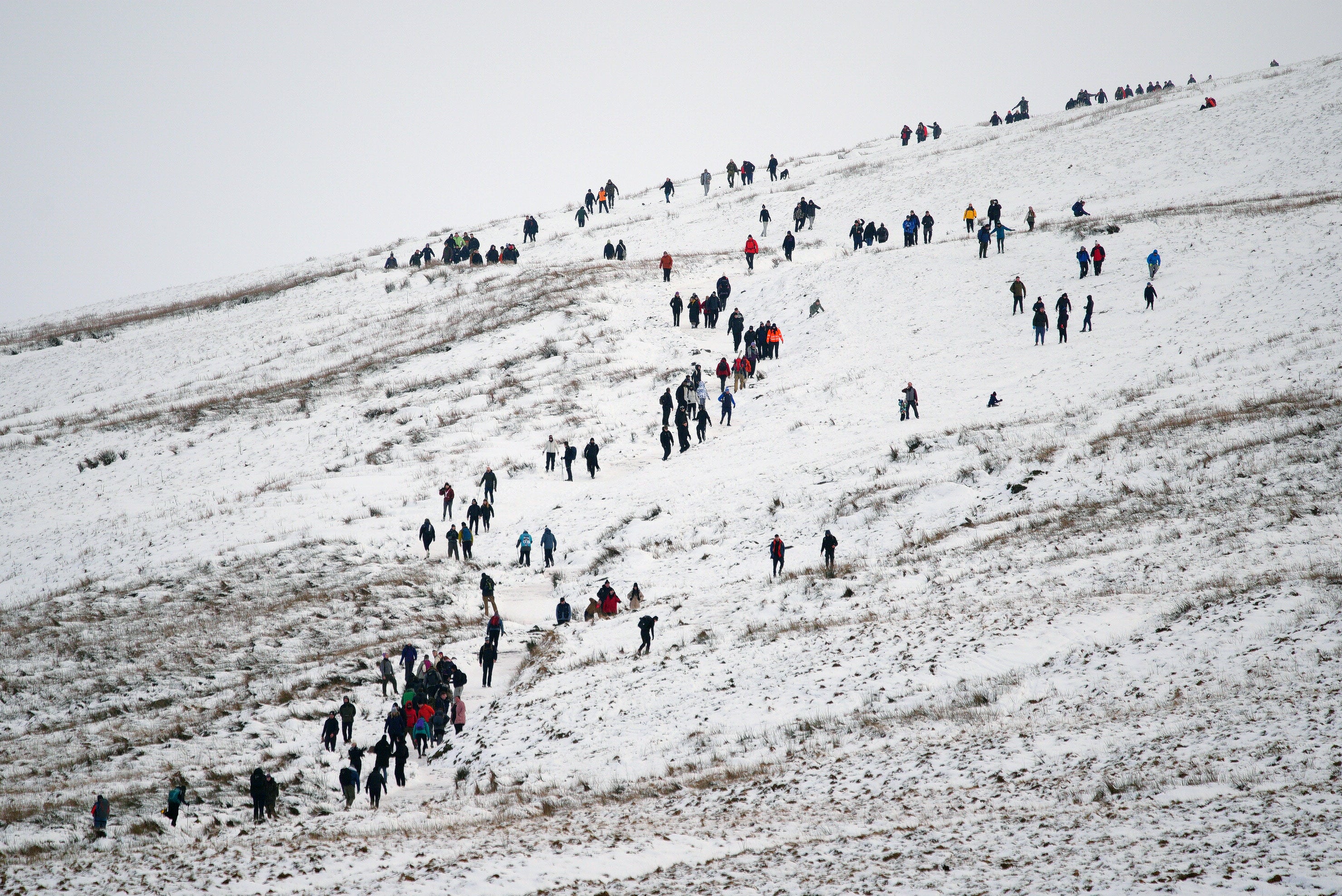
This comes after a period of heavy snow last week, as Storm Goretti brought gusts of almost 100mph and a rare red warning for “dangerous, stormy” winds in the South West of England was issued by forecasters.
Some areas last week were buried under up to 30cm amid warnings of the “worst snowfall in a decade”.
The storm swept across the Channel to the UK on Thursday evening and into Friday, battering the Isles of Scilly and Cornwall with hurricane-force winds.
Met Office five-day weather forecast
Today:
The weather on Wednesday is rather cloudy across the far south with patchy rain spreading north later on. Otherwise, apart from a few wintry showers in the north it will be a bright but cold start, however rain will move into northwestern areas by lunchtime.
Tonight:
Forecasters predict rain and for it to be heavy at times, moving east but potentially falling as snow to lower levels briefly across the north. Clear spells and some showers following behind in the west.
Thursday:
Thursday will likely see a mix of sunshine and showers across northern areas. There will also be further south cloud and rain, heavy at times, will gradually spread north, with winds strengthening later across the southeast. The system will be accompanied by some gusty winds in the southeast, in what will be an unsettled Thursday and start to Friday for many in the south of England.
Outlook for Friday to Sunday:
Onwards into the weekend, wind and rain is expected to clear to the northeast on Friday with sunshine and showers following. Showery rain will likely continue on Saturday before becoming more isolated on Sunday. Temperatures will be around average for most.
This is a breaking story, more to follow...
David Hockney slams plans to bring Bayeux Tapestry to UK as ‘madness’
Offshore wind farm contracts to power 12m UK homes after record auction
February 2026 payment dates for benefits and pensions plus cost of living support
Smoke seen for miles after Wolverhampton factory fire
DWP reveals TWO new payments to support cost of living in 2026
Fifth NHS trust declares critical incident as winter bugs lead to overwhelming demand