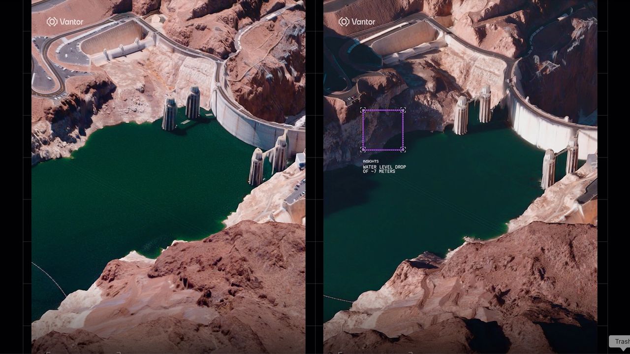
The American Earth-observation company Vantor maps Earth from space in 3D. The images are available in near-real time, revealing immediate effects of natural disasters and armed conflict. What is more, the images are also absolutely stunning.
Vantor, which operates a fleet of 10 satellites that image the surface of the planet with a resolution of 12 inches (30 centimetres), released the first set of its 3D shots from space on July 1. The images capture a variety of targets, all in amazing detail.