
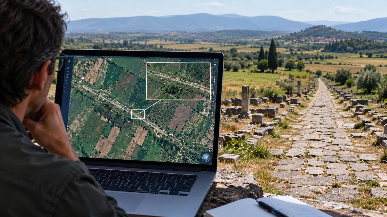
From the ground, the farmland of eastern Macedonia in northern Greece looked much like any other agricultural landscape. Fields stretched across the plain, broken by modern roads and settlements, while much of the ancient infrastructure that once crossed the region had disappeared beneath centuries of cultivation. But satellite imagery offered a different view. Faint linear marks visible from above began to reveal the possible remains of one of the Roman world's most important roads, the Via Egnatia.
Get breaking news anytime, anywhere. Download the TOI app now!