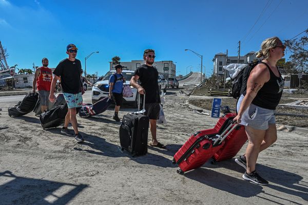
Storm Arthur was expected to move inland over Texas, near the Louisiana border, by Wednesday evening, according to the National Hurricane Center in Miami. Maximum sustained winds were around 45 mph (75 kph). Arthur is expected to produce five to 10 inches (127 to 254 mm) of rainfall. Isolated higher totals near 20 inches are expected through early Friday from the mid and upper Texas coast east-northeast into southern and central portions of Louisiana, Mississippi, and Alabama, along with western portions of Georgia and the Florida Panhandle, the Miami-based NHC said.
New Orleans Mayor Helena Moreno said police were preparing boats and setting up barricades in known flood areas. Collection points for residents to fill sandbags also sprung up around the state. Swells generated by Arthur are likely to cause life-threatening surf and rip-current conditions along the northwestern Gulf Coast for the next couple of days, forecasters said. Tornadoes were possible through Thursday.