
We typically think of mapping and location data as something that helps our days run more smoothly – from navigating journeys with your smartphone or satnav to using ride-sharing and food delivery apps. But there is more to location data than making our lives more convenient: one key use is helping to sustain life itself by assisting humanity’s efforts to tackle the climate crisis.
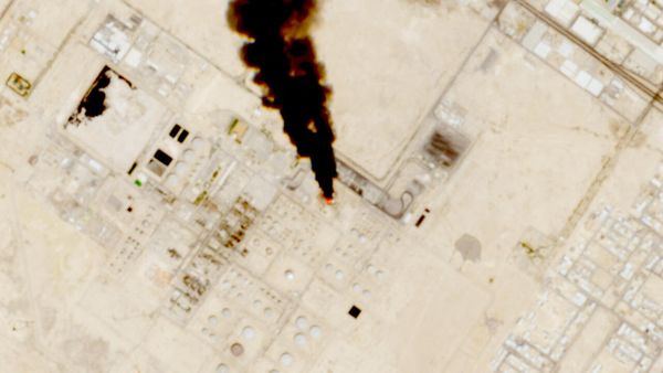
After all, part of the fight against climate change and other ecological disasters involves assessing the damage to natural environments and properly monitoring our progress towards mitigating this. Location data – also known as geospatial data – can help governments, public bodies and businesses monitor deforestation, land degradation, changing coastlines, biodiversity loss, unsustainable agricultural practices, greenhouse gas emissions, pollution and sewage, as well as the environmental impact of complex supply chains.