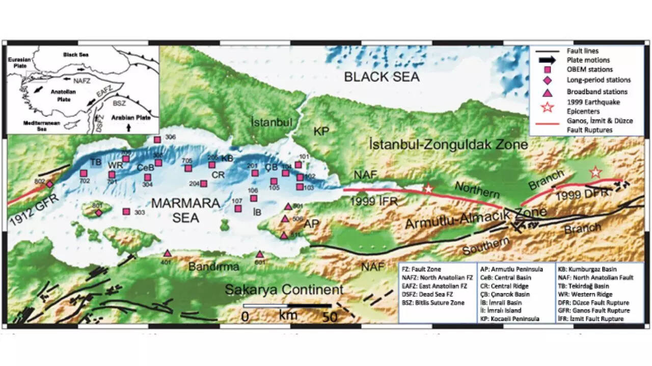
For years, scientists studying earthquake risk in northwestern Turkey have known where the North Anatolian fault runs but not exactly how it behaves beneath the Marmara Sea. That uncertainty has mattered. The offshore section lies close to Istanbul and has not ruptured in a major earthquake for more than two centuries. A new study now adds detail where there was little before. Using electromagnetic signals recorded on land and beneath the sea, researchers have built the first three-dimensional image of the fault zone below the Marmara Sea. The results do not predict when the next earthquake will happen. They do, however, show clear differences in rock strength at depth and help explain how stress may be building along different parts of the fault system.