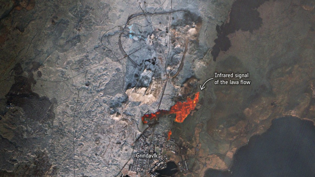
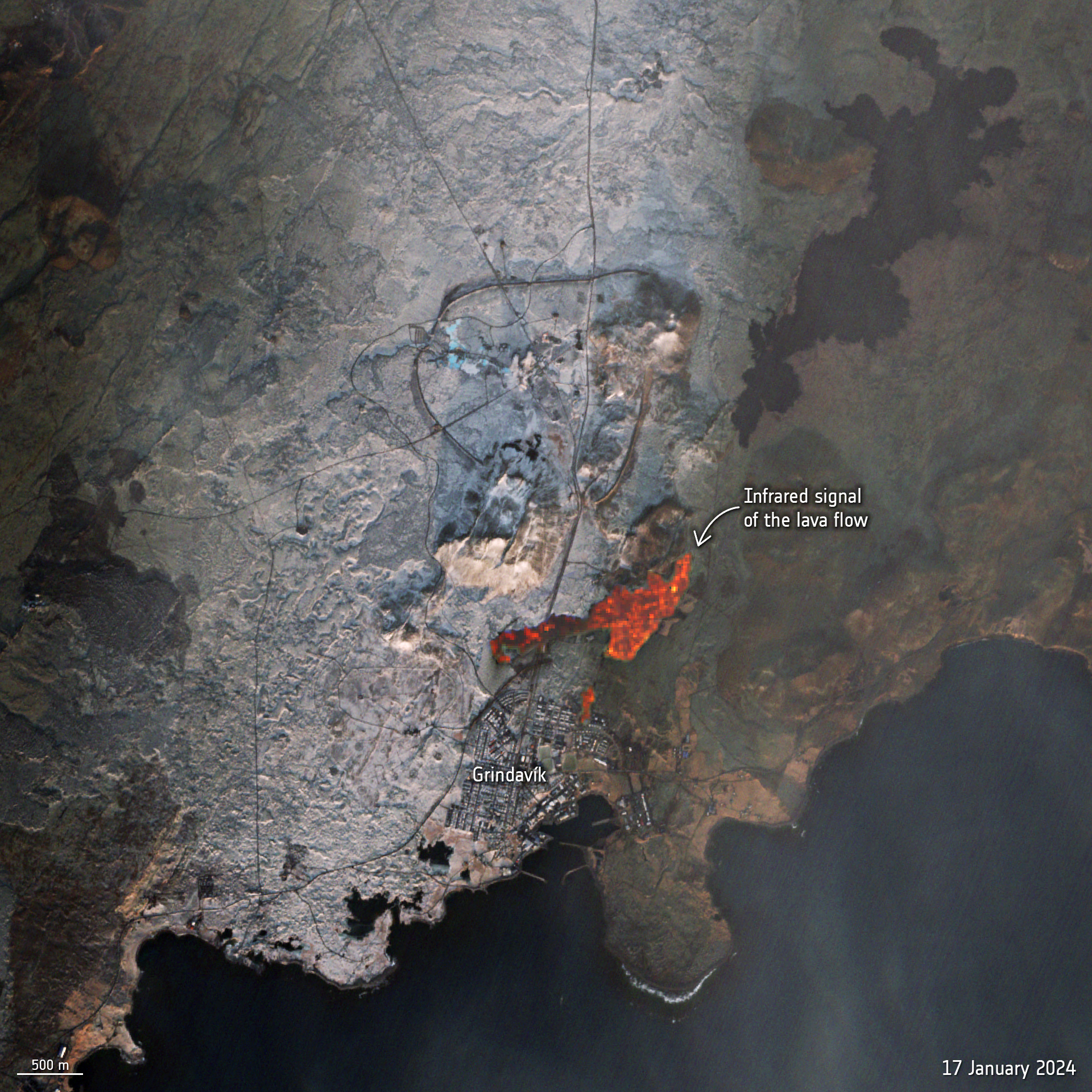
A tiny town in Iceland stands on the brink of a lava flow, in new images visible from space.
Grindavík has been under continual threat from volcanic eruptions for weeks. The flow originates beneath the Svartsengi volcano system, roughly 2.5 miles (4 km) north of the town, which erupted on Dec. 18 and Jan. 14.
Now, fresh satellite imagery from the European Space Agency's Sentinel2 satellite has revealed the glow of the lava flow's heat, not far at all from houses and other infrastructure within Grindavík.
"Magma accumulation continues and there is a continued likelihood that new eruptive fissures may open without warning," ESA officials wrote in a Thursday (Jan. 18) statement on X (formerly Twitter), citing the Icelandic Met office.
Related: Massive ancient lava flow seen from space looks like a giant black scar on the New Mexico desert
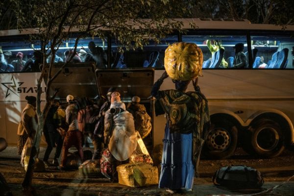
Grindavík, a fishing village roughly 25 miles (40 km) from Icelandic capital Reykjavík, is situated nearby the Fagradalsfjall volcano and has faced constant evacuations, as well as mini-earthquakes, the Guardian reported. The town has just 3,800 residents, some of whom have lost houses already.
According to a translated statement from the Iceland Met Office (IMO) reported by Space.com sister website LiveScience, magma continues to build below the surface as had happened before previous eruptions.
"When a magma vent forms near the surface, the earth's crust is strained and land sinks over the center of the magma vent," IMO representatives wrote. "Furthermore, the earth's crust pushes up on either side of it."
Iceland's position above a chain of volcanoes in the north Atlantic makes it prone to such eruptions, many of them previously visible from space as well.
The 2010 eruption of the Eyjafjallajokull volcano not only made air travel difficult around Europe for months, but the ash cloud it produced was easily visible from satellites gazing at Earth.