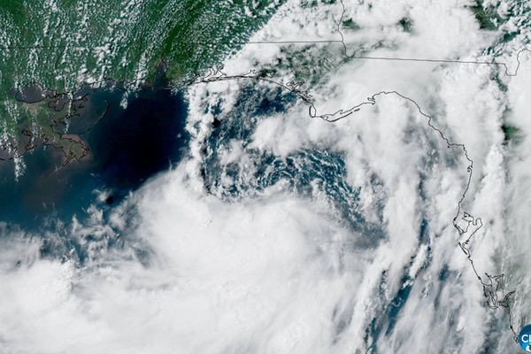
Recently, Hurricane Melissa roared ashore in Jamaica, leaving behind a trail of destruction that is still being tallied. The storm struck as a Category 5 hurricane, bringing winds exceeding 185 mph (295 kph), torrential rainfall, and widespread flooding that crippled power grids and cut off communities across the island.
For scientists tracking storms like Melissa, the data suggests that modern hurricanes are getting stronger and more destructive. A primary cause seems to be human-driven global warming, which is increasing ocean temperatures, providing more fuel to monstrous hurricanes in the Atlantic.
What is it?
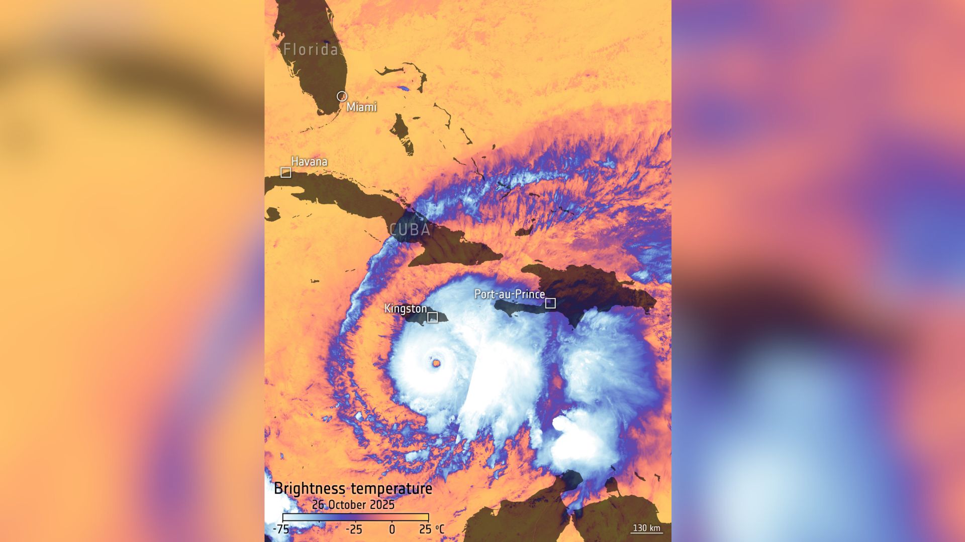
To understand how hurricanes are becoming more destructive, scientists use satellites and temperature maps, like this one taken by the European Space Agency's Copernicus Sentinel-3 to see the temperature differences in these powerful storms.
Hurricanes form over warm ocean surfaces, drawing immense energy from the heat and moisture of the sea. As these storms intensify, the difference between sea surface temperature and cloud-top temperature becomes more extreme, which Sentinel-3 can see as various thermal bands.
Where is it?
This image was taken above Jamaica in the Atlantic Ocean.
Why is it amazing?
The Copernicus program, created by the European Union and run by the European Space Agency, scans Earth with Sentinel satellites to study coastal changes, ocean temperature and other variables.
In this Sentinel-3 image, the stark temperature difference between the top of Hurricane Melissa and its bottom shows how it formed and how it continued to grow into a Category 5 storm. High-resolution images like this one can help explain why studying these storms is essential in forecasting, preparedness and looking ahead in our changing climate.
Want to learn more?
You can learn more about the Copernicus program and hurricanes.