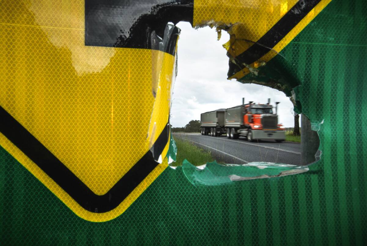
Residents living in the shadow of the Lower Hunter's burgeoning quarry industry want a strategic plan to control its cumulative impacts.
They say the five operational quarries (Brandy Hill, Boral-Seaham, Martins Creek, Karuah East and Karuah) and five new proposals (Eagleton, Stone Ridge, Deep Creek, Hillview, and Karuah South) within a 15 kilometre radius present increasing risks to community safety, rural amenity and the environment.
An Environment Impact Statement for a proposal to extend the life of Boral's Seaham Quarry by 30 years to 2057 and almost double its maximum output to 2 million tonnes a year is presently on public exhibition.
In another development, an amended proposal to extract, process and transport up to 600,000 tonnes of hard rock products per year for 30 years at the Eagleton Quarry is also on public exhibition.
The Hunter Community Environment Centre, Eco Network Port Stephens and the Gloucester Environment Group have produced a strategic and conservation planning document for the region's hard rock quarries.
Residents want the government to fund and implement the plan.
The plan would help introduce standardised, scaleable cumulative impact assessment and monitoring of social and environmental impacts including traffic, dust, noise, water discharges and vegetation loss.
It would also quantify data on supply and demand for quarry products to guide ecologically sustainable, efficient and cost effective provision of materials, and assess alternative sources of recycled housing and infrastructure materials, including gravel and aggregates from recycled coal-ash waste.
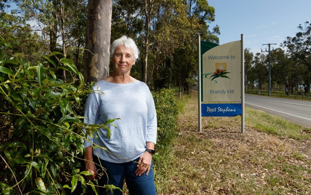
Brandy Hill and Seaham Action Group spokeswoman Margarete Ritchie said the rights of the local communities and the environment had been sacrificed for commercial interests of quarry owners.

"It is absurd that these projects can be assessed separately when the cumulative impacts they have on roads and the environment is massive," she said.
"We know the quarry industry's lobbying has enormous influence on the assessment of projects, but who is standing up the communities and the environment that are treated as collateral damage."
The Hunter's catchment is the largest in coastal NSW, encompassing an area of 21,500 square kilometres.
The Myall Lakes and the Hunter Estuary, both listed under the RAMSAR Convention on Wetlands, comprise outstanding, internationally significant migratory bird habitats.
Port Stephens contains listed nationally important wetland and the Port Stephens - Great Lakes Marine Park, the Seaham Swamp Reserve and the Grahamstown Dam domestic water supply and catchment.
"Areas of high conservation value providing connectivity and containing climate refugia must be established as no-go zones for greenfield development and expansions, in line with Objective 6 of the Hunter Regional Plan 2041 to conserve heritage, landscapes, environmentally sensitive areas, waterways and drinking water catchments.
Hunter Community Environment Centre coordinator Jo Lynch said current planning laws were failing to protect communities and the environment.
"The lower Hunter is facing more than a doubling of the quarry industry with five newly proposed and five existing operations seeking expansions," she said.
"Community members are increasingly concerned about the projected cumulative impacts of this huge expansion of the quarry sector, including increased heavy haulage traffic, habitat loss and air and water pollution in the catchment.The proposed Stone Ridge quarry in Wallaroo State Forest falls within a high value biodiversity corridor and has been roundly rejected by community members."


