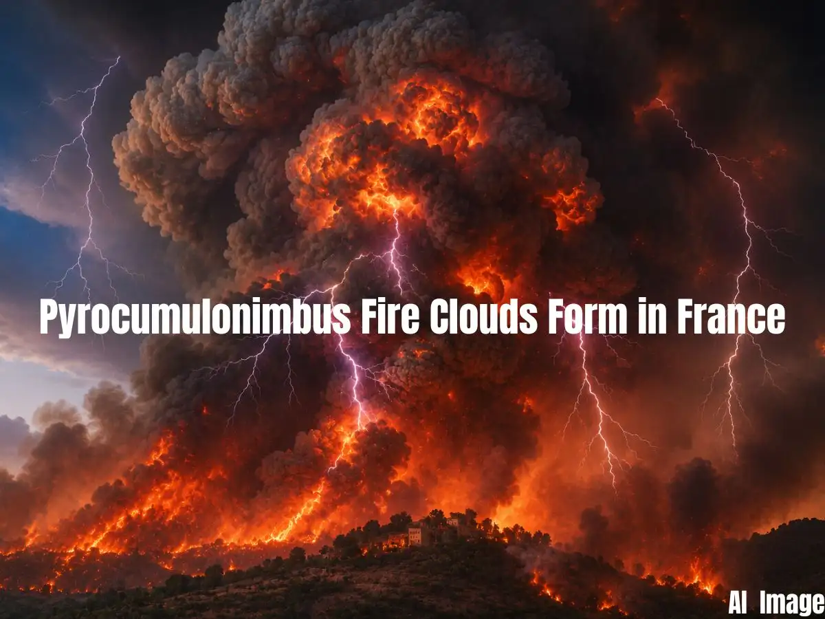
Picture a wildfire so ferocious it stops behaving like a fire and starts behaving like weather. That's roughly what happened over southwest France recently, as flames tearing through tens of thousands of hectares of dry brush pushed a column of smoke and heat so high into the atmosphere that it curdled into a towering, anvil-shaped storm cloud, the kind you'd normally expect on a muggy summer afternoon, not rising out of a fire zone. The phenomena is not just smoke, but an actual thunderstorm, born entirely out of the fire itself. Meteorologists call it a pyrocumulonimbus. Most people are calling it what it looks like: a fire cloud.
It's a rare enough sight that its appearance over the France-Spain fire zone has drawn attention well beyond weather circles. Rare, but not unheard of, and increasingly, scientists say, not something to dismiss as a curiosity.