
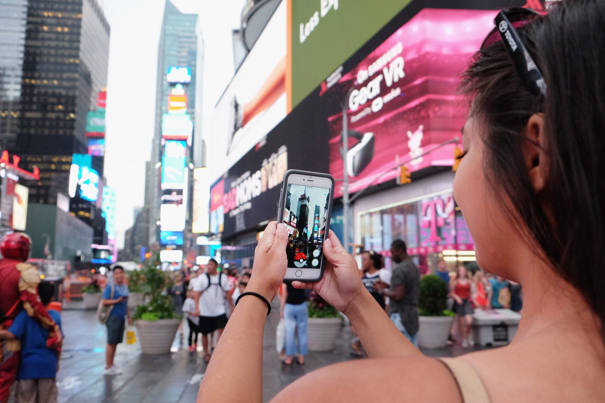
Pikachus at every street corner. Leveling up before getting into the gym. “Pokémon Go to the polls.” You remember this era well: Pokémon Go became a frenzy, with hundreds of millions taking to the streets for their chance to snap up the rare Azelf or special edition Charizard. Now, not only does it seem that Pokémon Go took the world by storm, but it also was using crowdsourced data to map it.
Over the past decade, Pokémon Go players voluntarily submitted photos and short videos of public landmarks, street corners, storefronts, and urban intersections—all coming together to create a dataset that now stands at 30 billion images captured at ground level, across nearly every major city on the planet. Niantic Spatial, the enterprise AI and mapping division spun from Niantic Inc., has spent years converting that trove into something the robotics industry has never seen before: a photorealistic, street-level, continuously updated model of the physical world, built specifically for robots.