Fears that global temperatures will hit record highs have started to grow, as experts warn El Niño may form later this year.
According to the US National Oceanic and Atmospheric Administration (NOAA), there is a 50 to 60 per cent chance of El Niño developing during the July to September period and beyond, while the transition from La Niña to ENSO-neutral is expected in February-April at a 60 per cent likelihood.
However, NOAA warns that model uncertainty remains “considerable” as forecasts this early in the year tend to have a lower accuracy.
What are El Niño and La Niña?
El Niño and La Niña are two opposing climate conditions in the Pacific Ocean that affect the weather across the globe. Trade winds in the Pacific tend to blow from east to west, pushing warm surface waters towards the western Pacific.
El Niño, which is Spanish for ‘the boy’, occurs when these winds weaken or reverse, making the waters in the eastern Pacific warmer than normal.
In La Niña (the girl) periods, the east-to-west trade winds become stronger, pushing warm waters further west towards the coasts of Australia and south-east Asia. This causes cold water to ‘upwell’ or rise from the depths of the ocean, making sea surface temperatures cooler on average, particularly in the Americas.
El Niño occurs irregularly, roughly every two to seven years, and typically lasts for about a year, but can go on for longer. It is often followed by La Niña.
What impact does El Niño have on the weather?
“El Niño tends to suppress rainfall over most tropical land,” says Kieran Hunt, a climate scientist at the National Centre for Atmospheric Science in the UK.
“This means, all other things being equal, that the Asian, African and South American monsoons tend to be drier than usual. It is also associated with increased rainfall and occasional flooding in the southern United States, Peru, Argentina, southern Europe, Kenya and Uganda.”
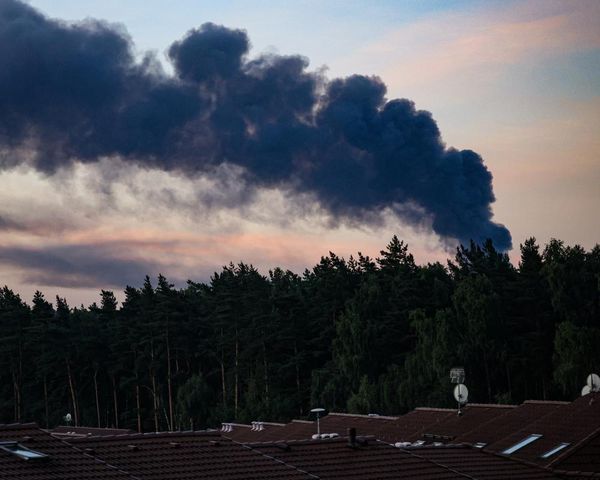
El Niño can also intensify heatwaves in the tropics, which is why El Niño years are often among the warmest on record. Some meteorologists predict that a typical El Niño event tends to cause a temporary 0.1-0.2℃ increase in the global mean temperature.
This is not as significant as temperature rises fuelled by human-made climate change, which has increased the global surface temperature by approximately 1.3- 1.5℃ compared to pre-industrial levels.
Redefining El Niño
For 75 years when meteorologists calculated El Niños and La Niñas, it was based on the difference in temperature in three tropical Pacific regions compared to normal.
An El Niño was 0.5 degrees Celsius warmer than normal and La Niña was cooler than normal by the same amount - which was based on 30-year averages.
However, as heat-trapping gases continue to bake the planet, what scientists consider ‘normal’ is continually changing.
It’s why, starting last month, NOAA has created a new index that compares temperatures to the rest of the Earth’s tropics.
Recently the difference between the old and new methods has been as much as half a degree Celsius, and “that's enough to have an impact,” says Nat Johnson, a meteorologist at NOAA's Geophysical Fluid Dynamics Lab.
This will likely mean a few more La Niñas and fewer El Niños than in the old system, Johnson adds.
“When El Niño develops, we’re likely to set a new global temperature record,” says Jennifer Francis of the Woodwell Climate Research Center.
“'Normal' was left in the dust decades ago. And with this much heat in the system, everyone should buckle up for the extreme weather it will fuel.”