Get all your news in one place.
100's of premium titles.
One app.
Start reading
Space
Space
Science
Kenna Hughes-Castleberry

New satellite constellation will scan the entire Earth every 20 minutes to find wildfires

A series of purple and blue and orange shapes .

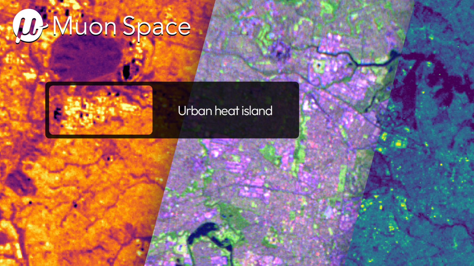
Three months after Muon Space launched its FireSat Protoflight satellite, the spacecraft's first images have been released.

FireSat is the first in a proposed constellation of more than 50 satellites that Muon Space hopes to use to monitor and detect wildfires. These first images were taken from low-Earth orbit, as the satellite used its multi-band infrared (IR) instrument to scan the landscape for specific heat signatures that could be indicative of wildfires.

Sign up to read this article
Read news from 100's of titles, curated specifically for you.
Already a member? Sign in here
Related Stories
Top stories on inkl right now
One subscription that gives you access to news from hundreds of sites
Already a member? Sign in here
Our Picks
Fourteen days free
Download the app
One app. One membership.
100+ trusted global sources.