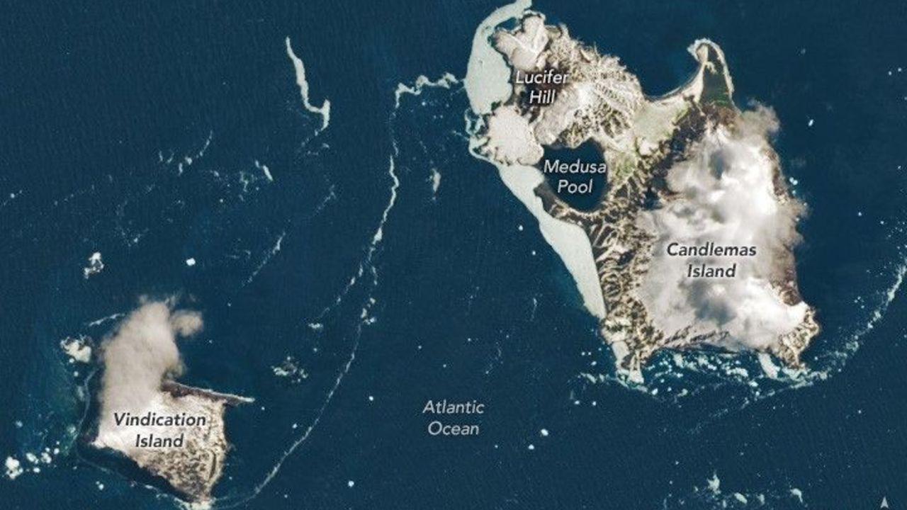
Far from shipping lanes, cities, and even most scientific outposts lie the South Sandwich Islands, one of the most remote island chains on Earth. Stretching in a slender arc through the stormy South Atlantic Ocean, these islands sit more than 994 miles (1,600 kilometers) from both South America and Antarctica. In this satellite image, puffs of low-level cloud drift across Vindication and Candlemas Islands, two of the South Sandwich Islands, mingling with rugged volcanic terrain and icy shorelines. The image was captured by the Operational Land Imager-2 (OLI-2) instrument aboard the Earth-observing satellite Landsat 9, a collaboration between NASA and the U.S. Geological Survey.
Such scenes are uncommon in satellite records from this region, where clouds often obscure the surface.